Updated 29 Jan 07. Photos from the cameras of Rob Maher and [JB] = Jeffrey Barish
Click on a picture to load full image (some are up to ~4MB)
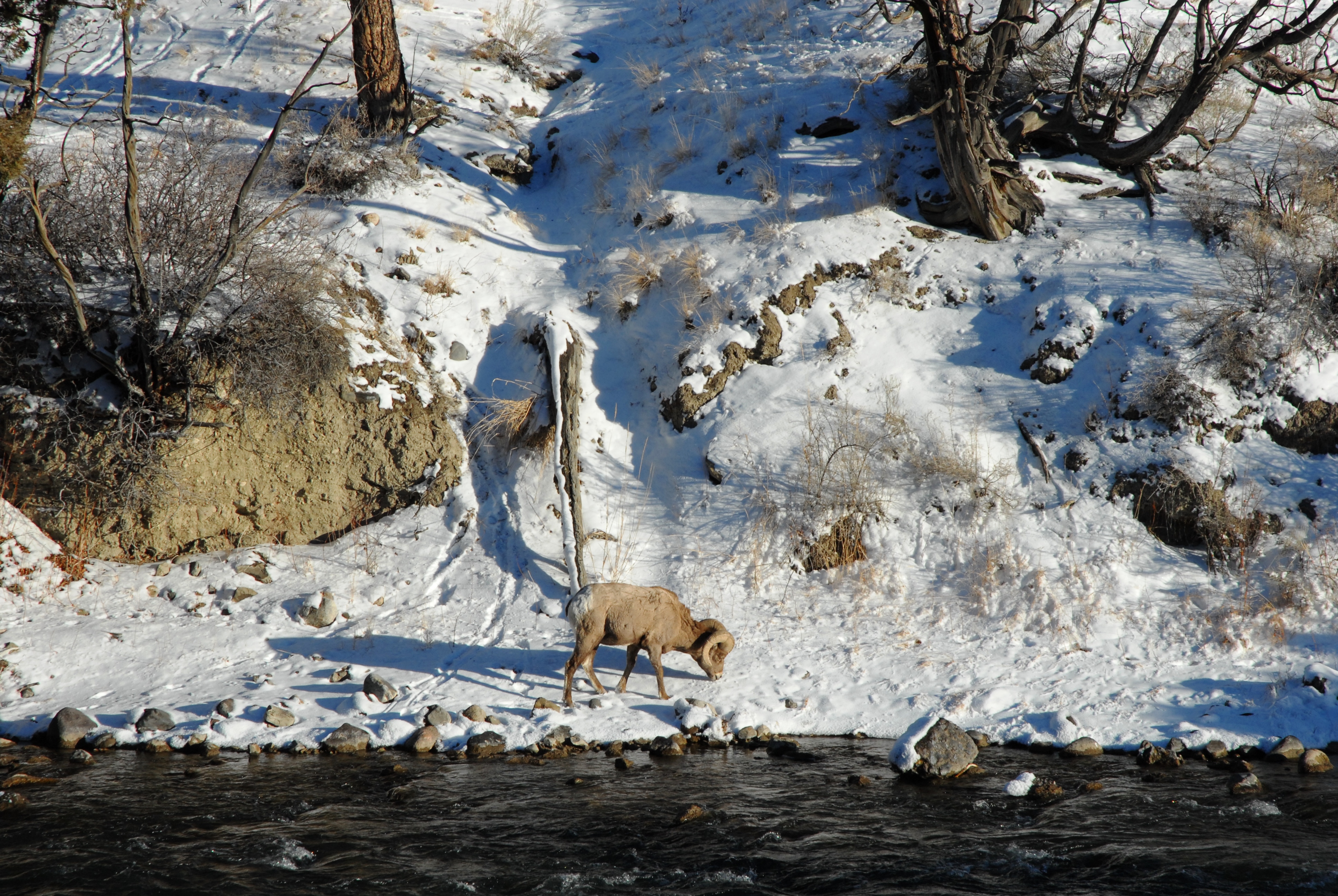
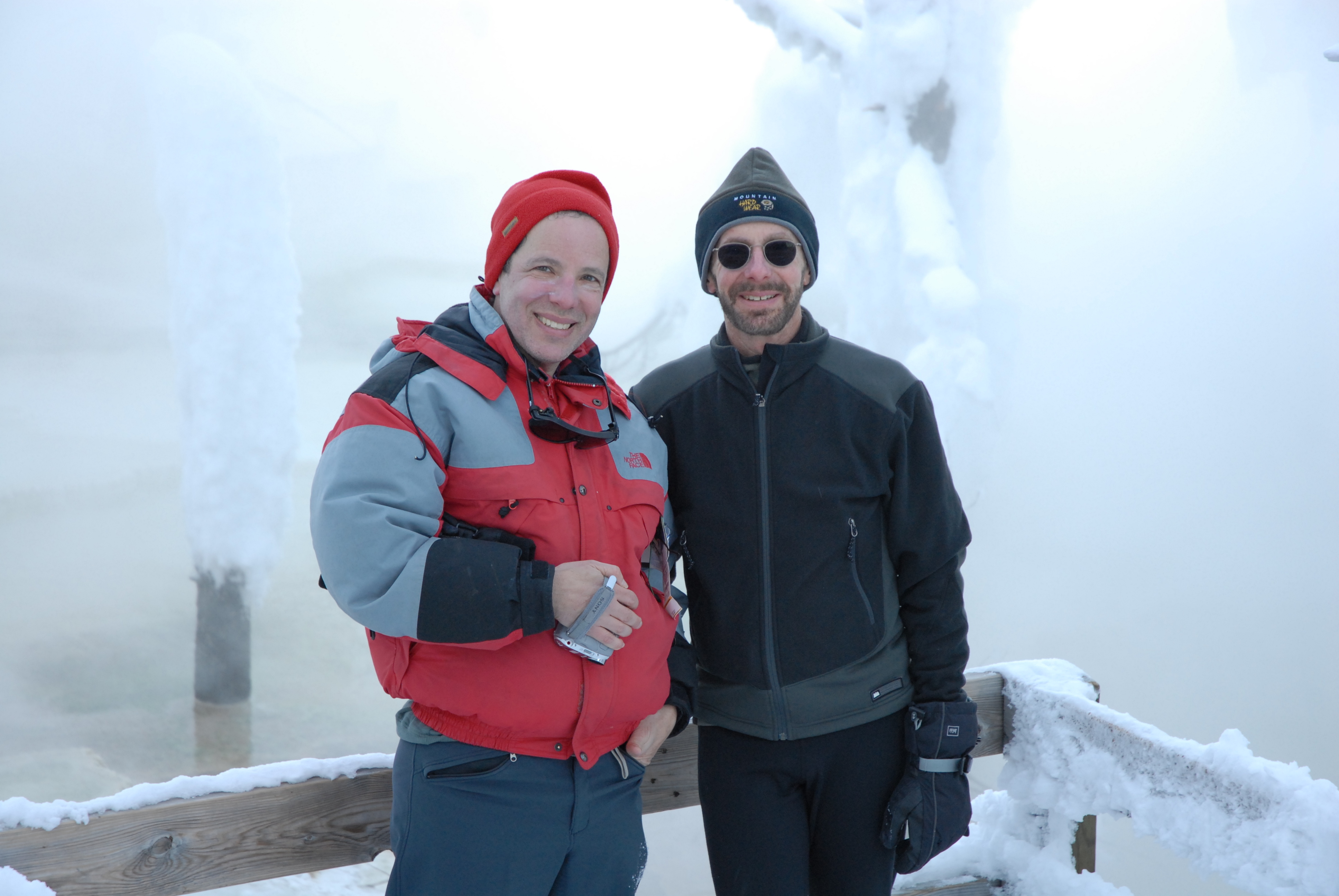
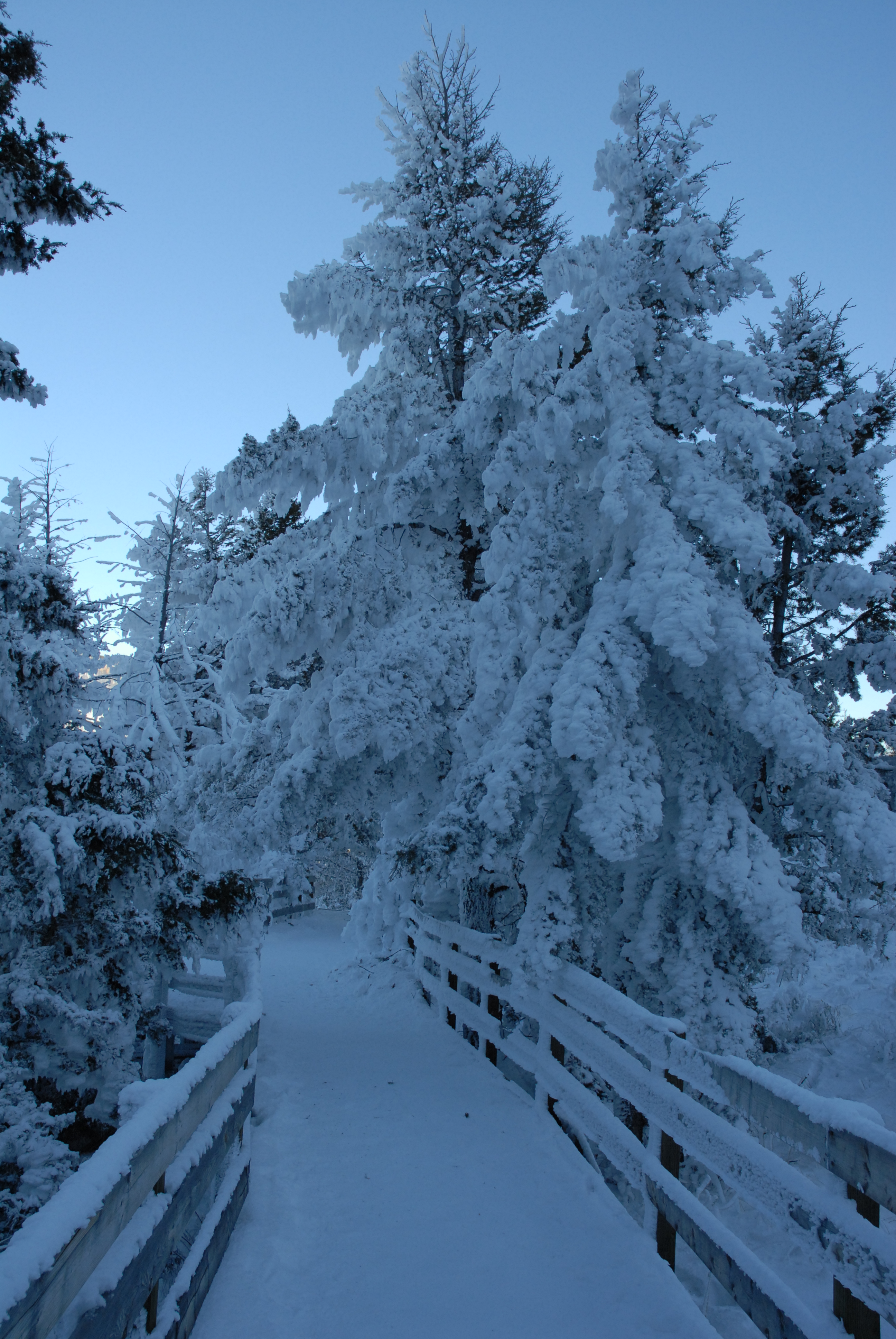
A lone bighorn sheep along Gardner River; Larry Borish and Jeff Barish at Mammoth; Frosty trees and boardwalk near Mammoth Hot Springs
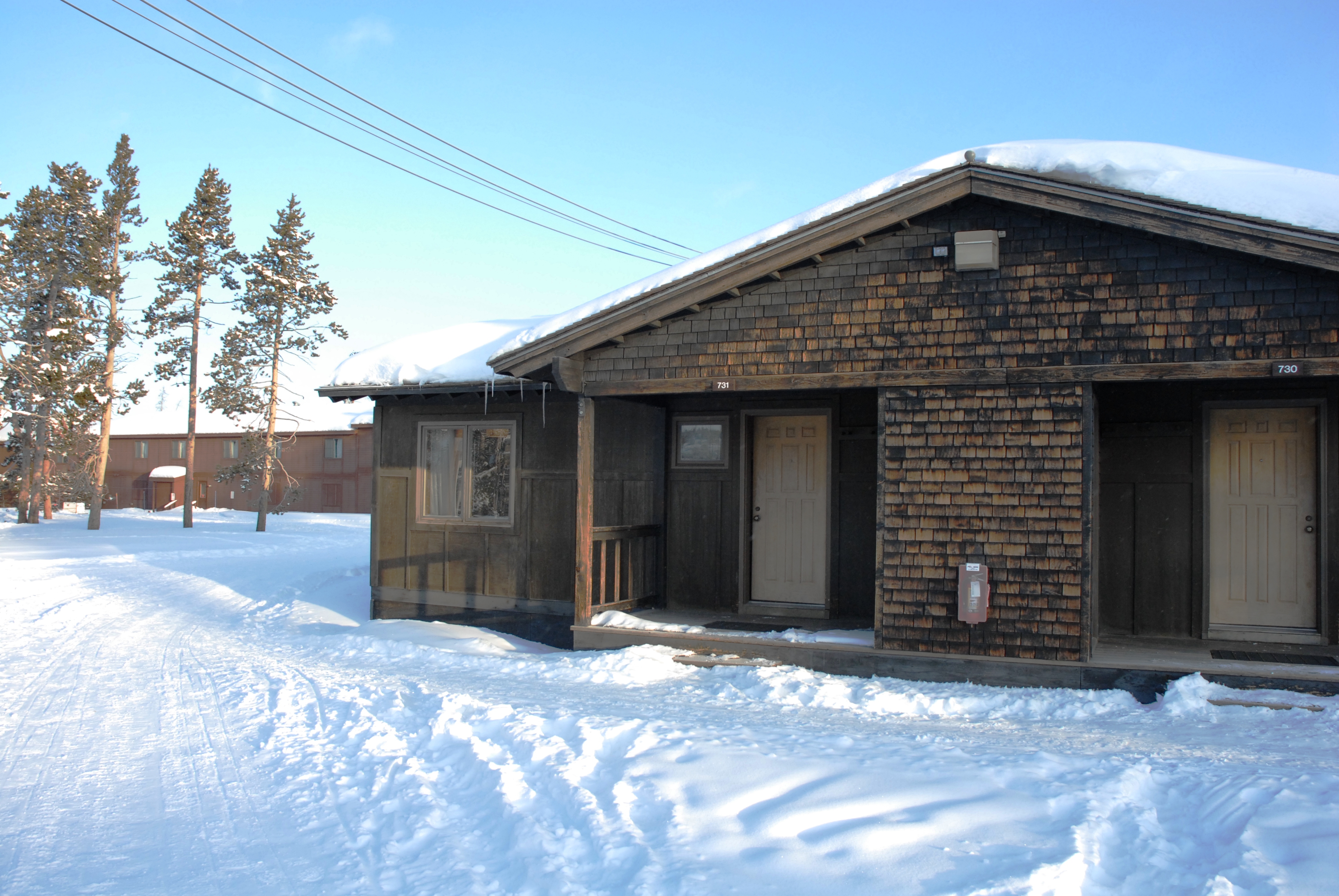
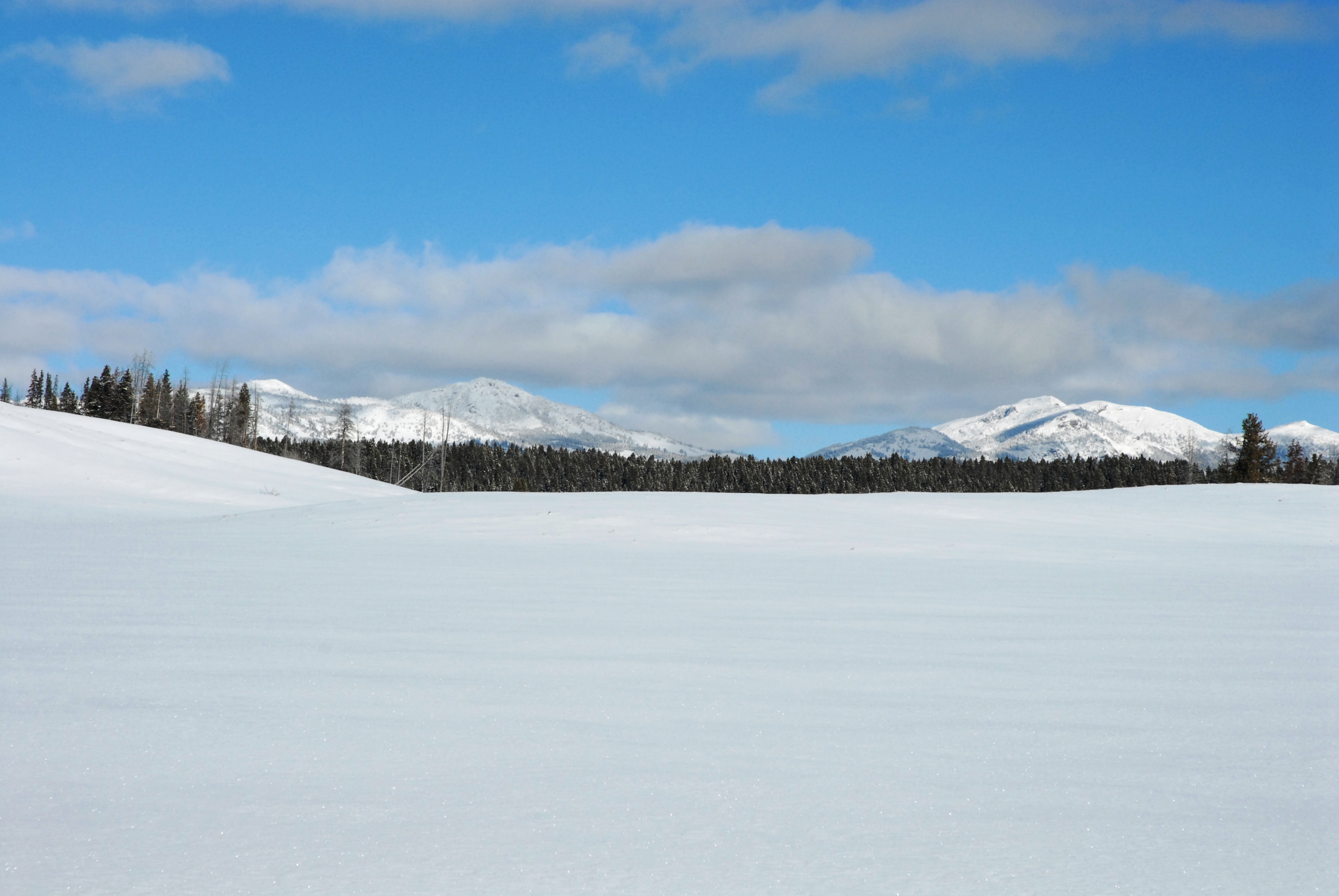
More frosty trees at Mammoth; View south over Swan Lake Flat; Cabin at Old Faithful;
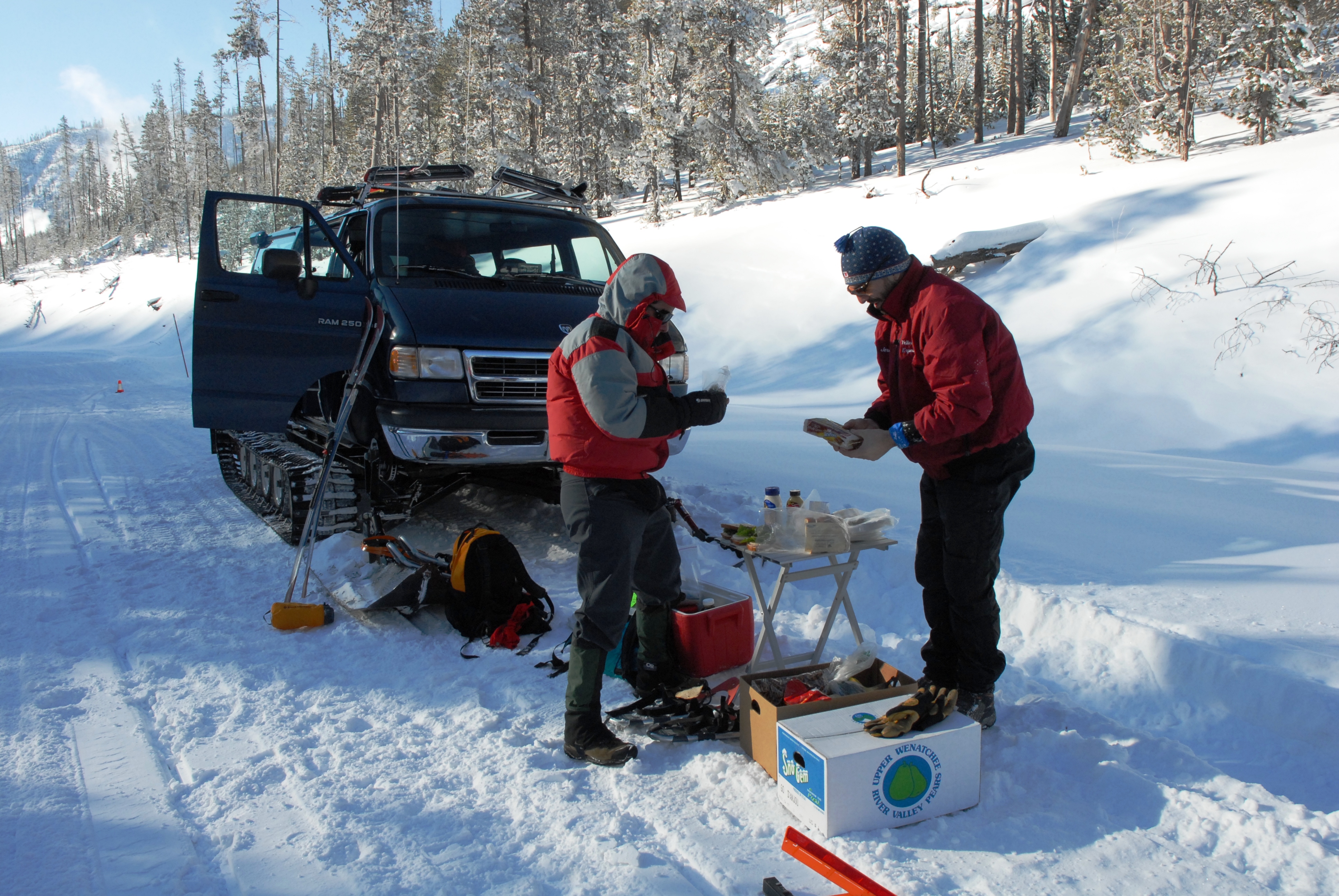
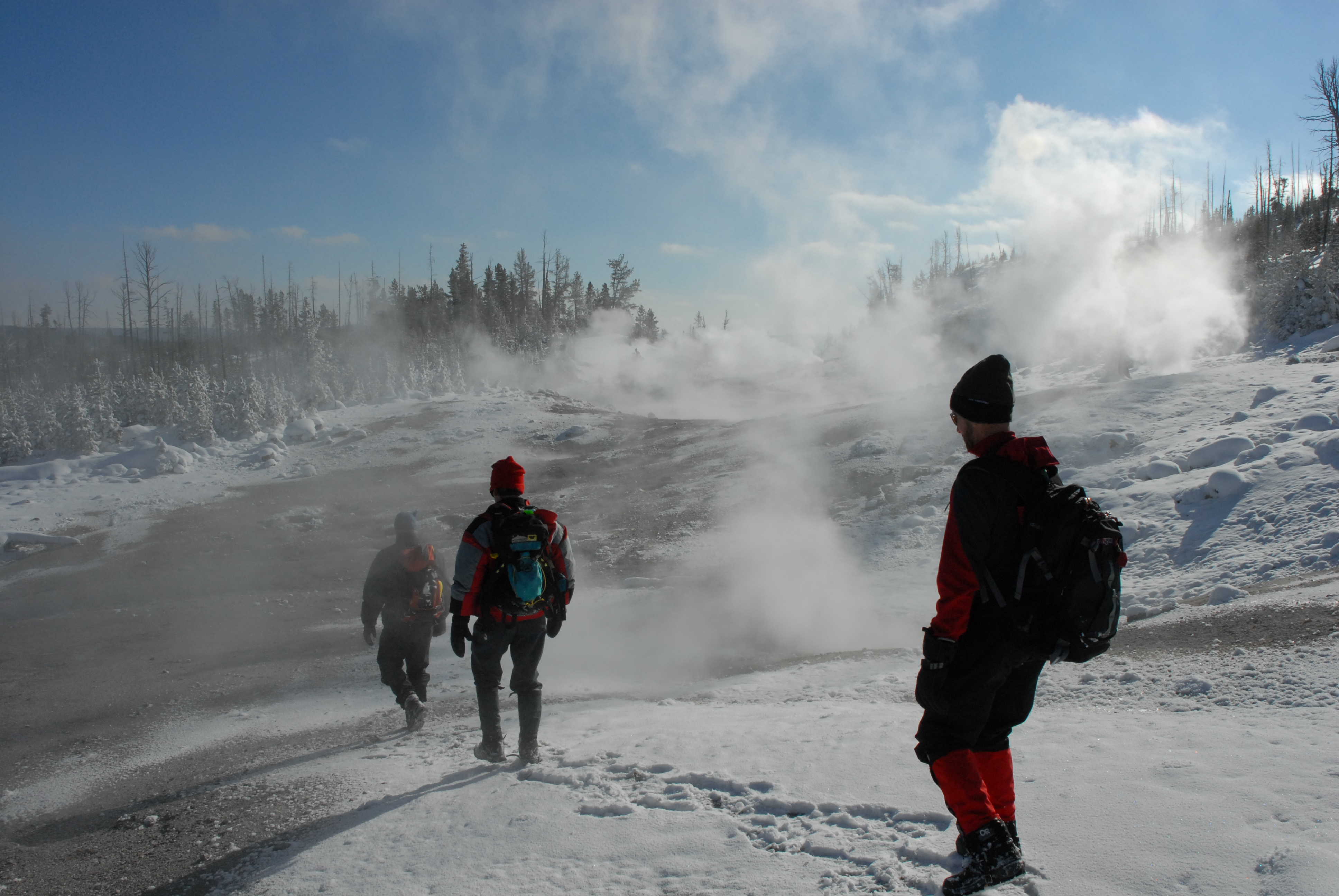
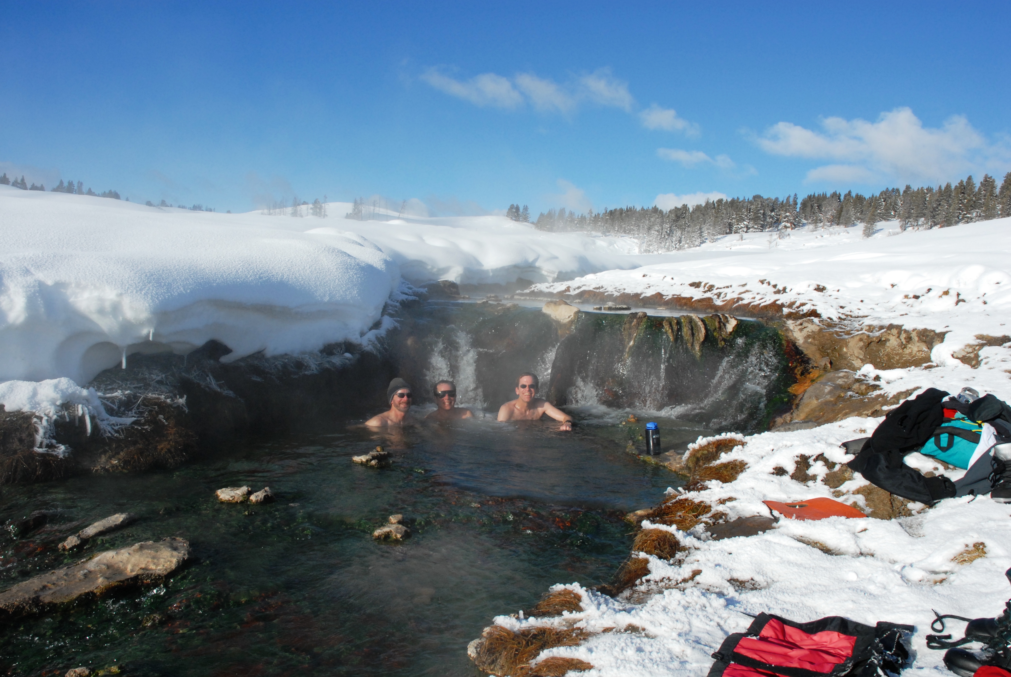
Icy mist over Beryl Spring; Larry and Jeremy (guide) making lunches along roadside; Arriving at Monument Geyser Basin (ski/snowshoe excursion)
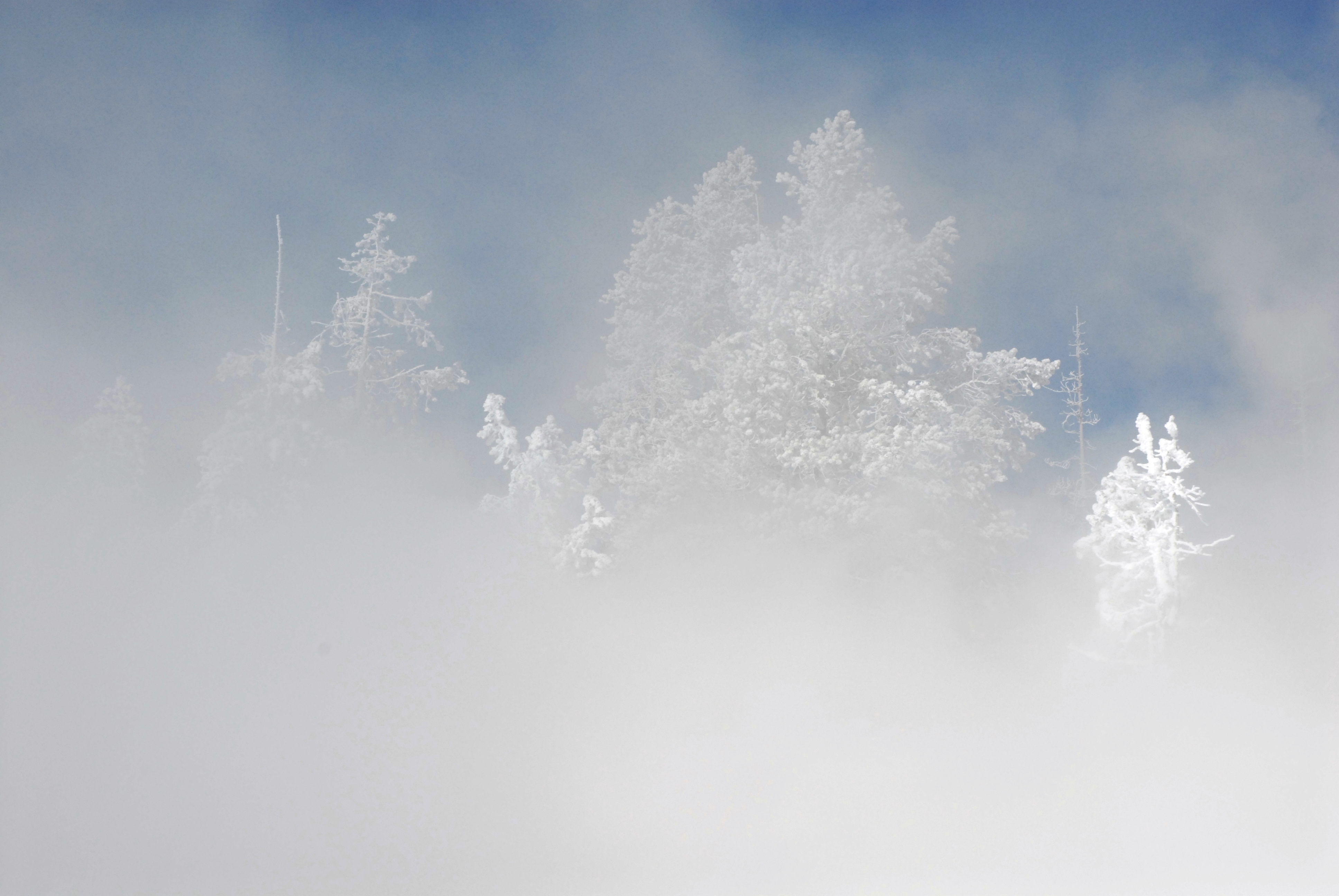
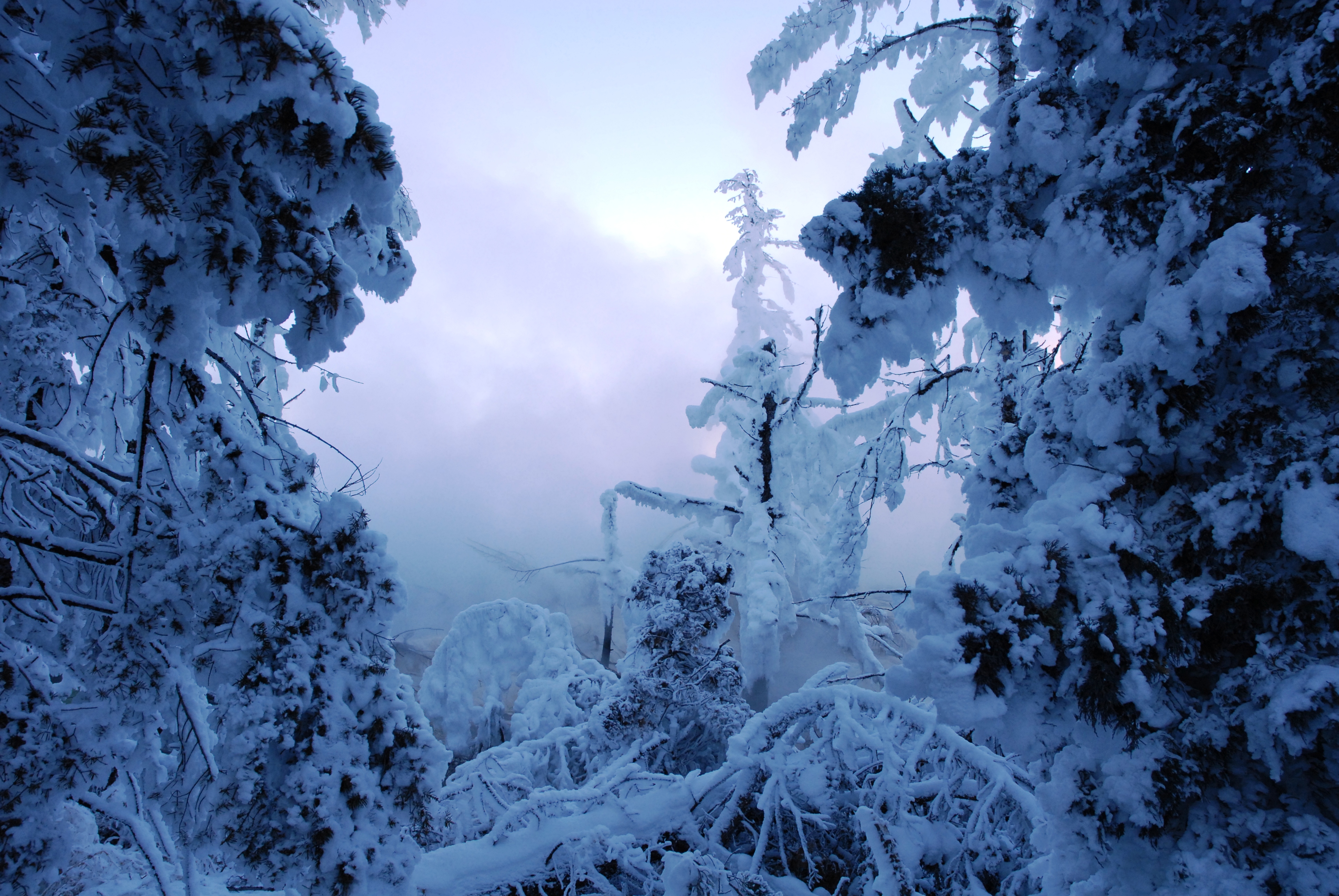
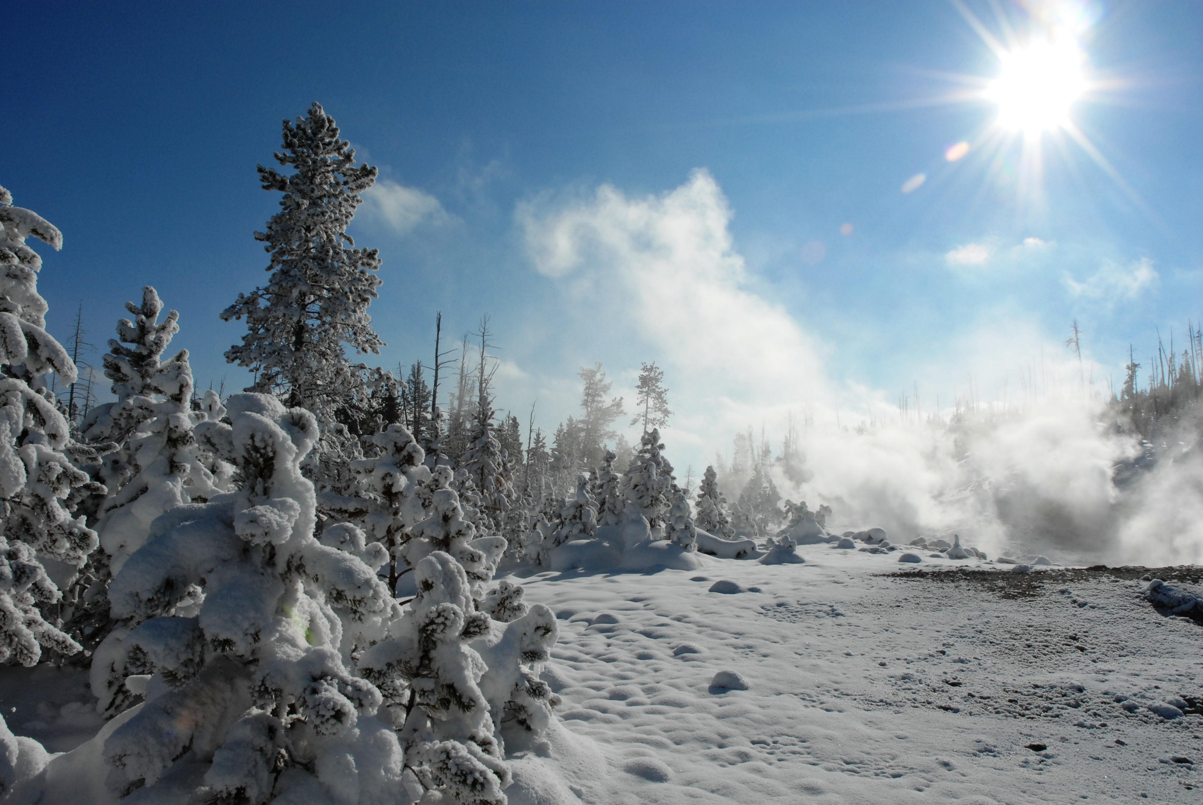
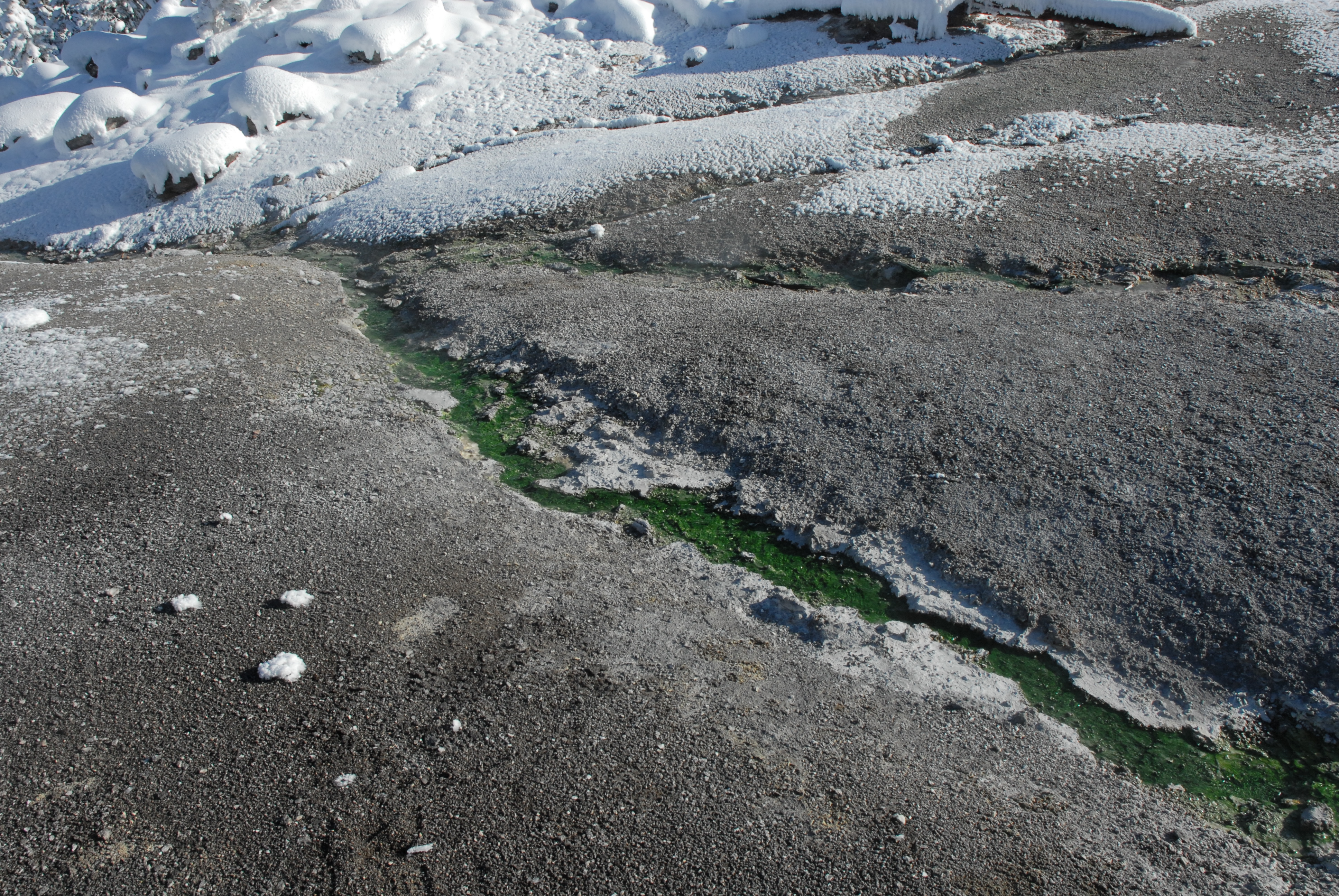
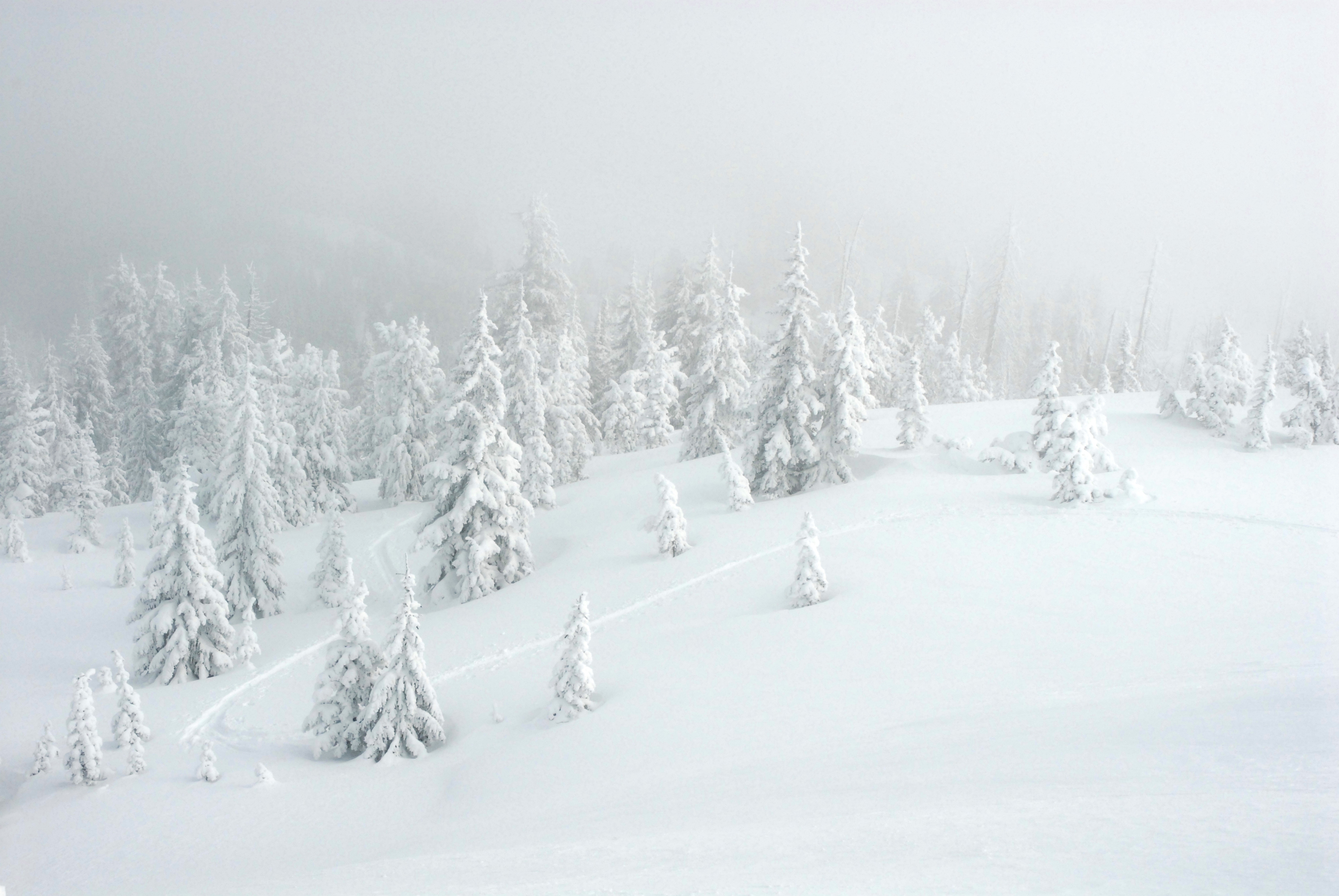
Hiking (carefully) in Monument thermal area; Frost and snow coating the trees; Thriving algae in hot runoff channel (even with air temperature of 5�F !)
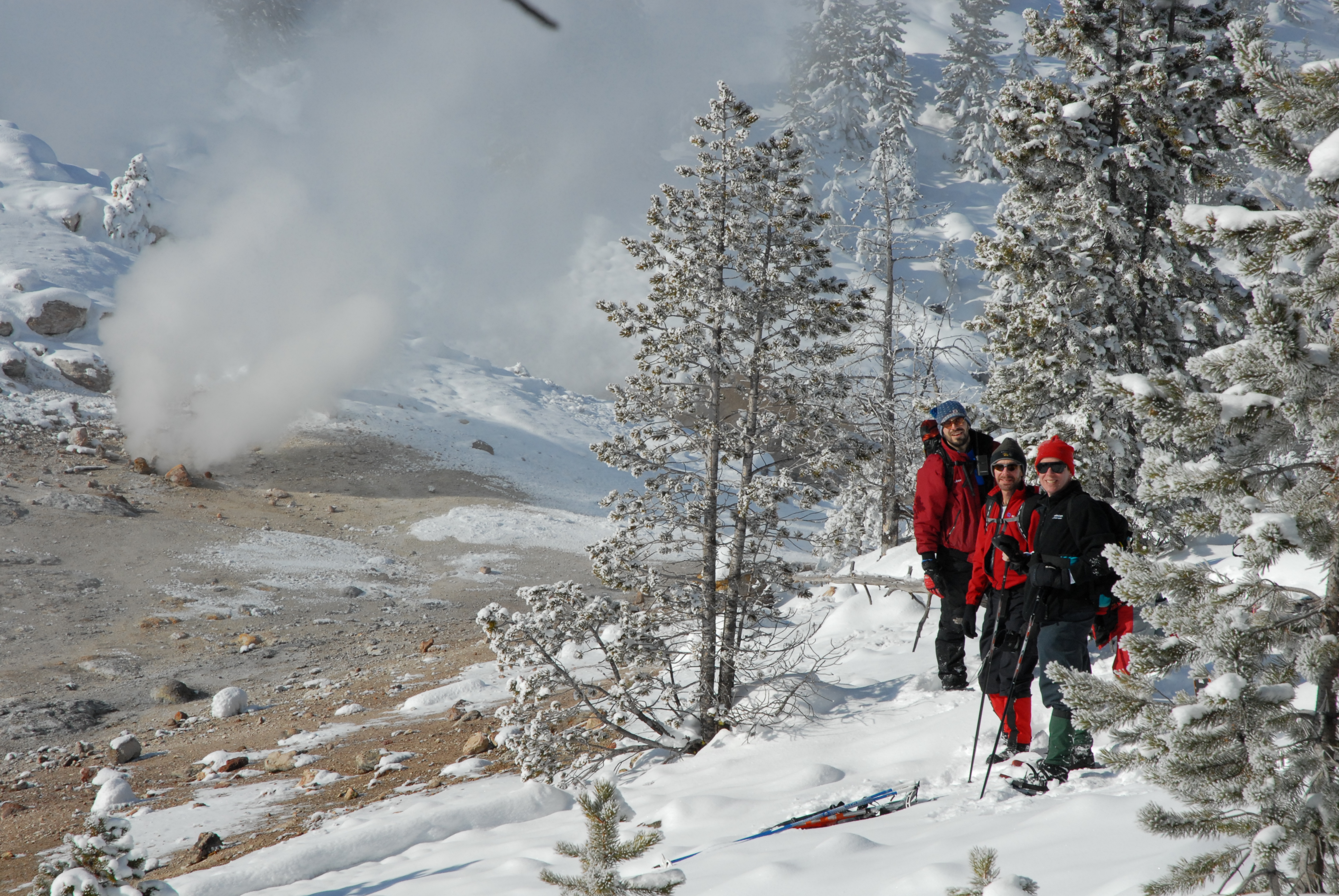
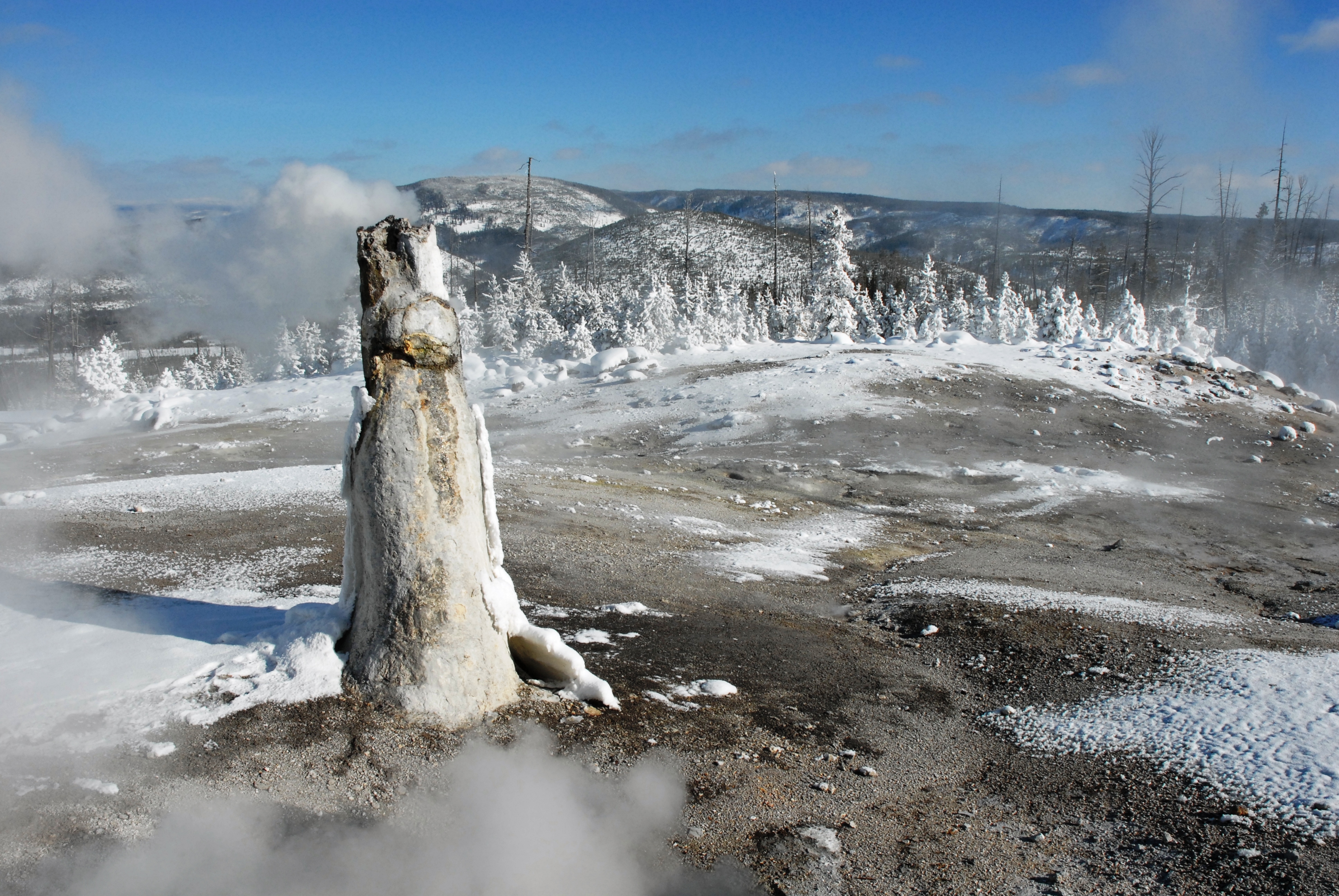
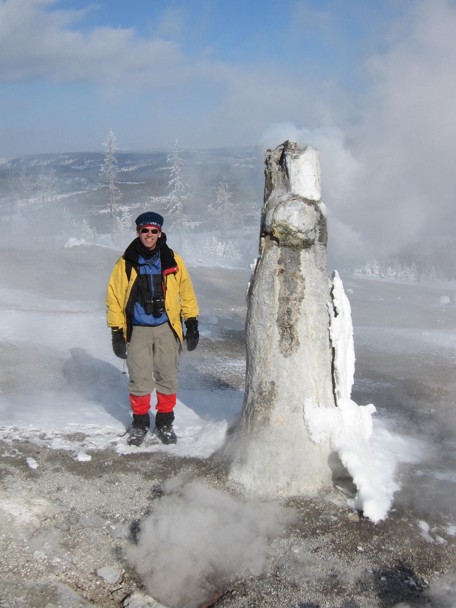
Monument geyser structure; Rob next to monument [JB]; View north of Gibbon River and bison
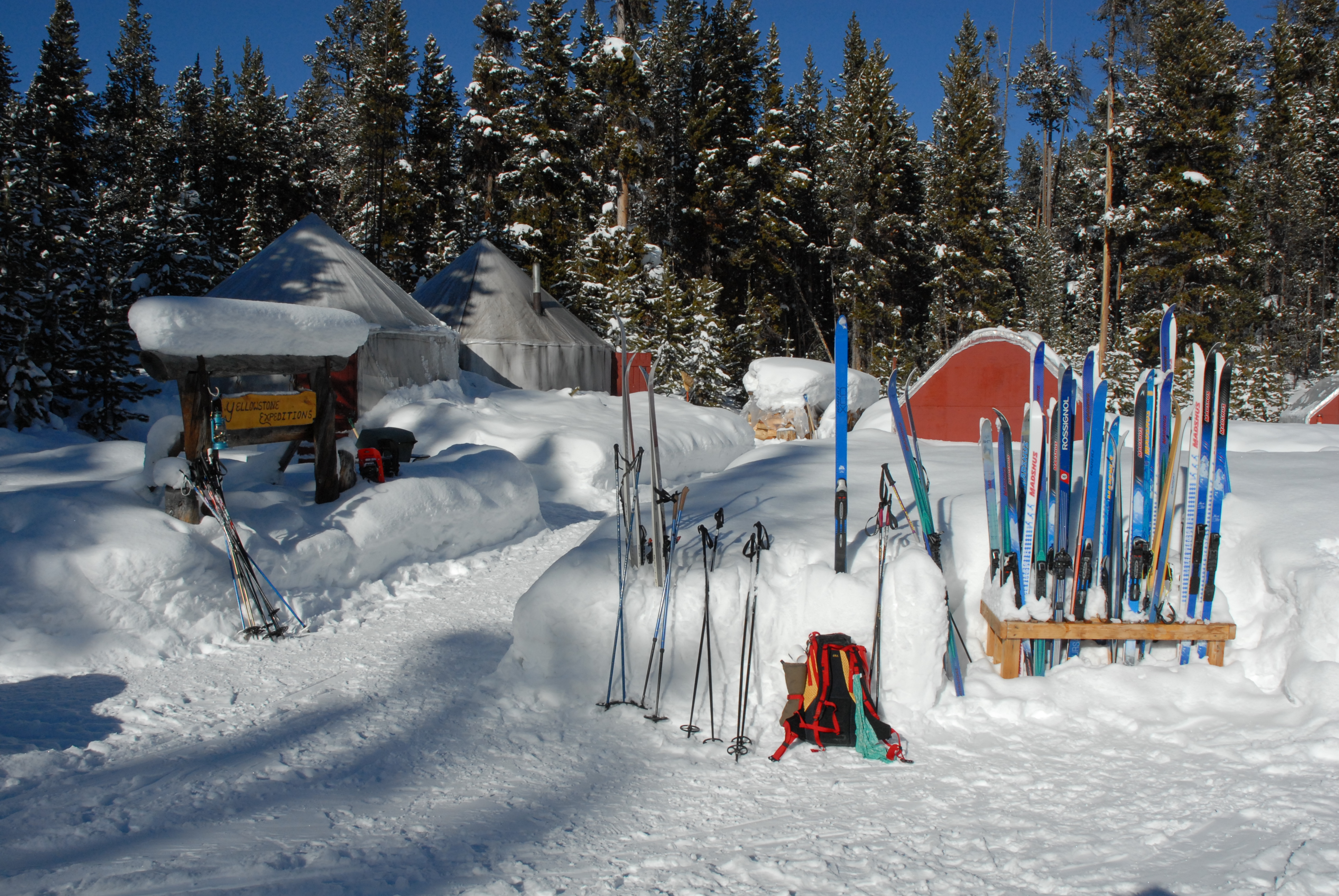
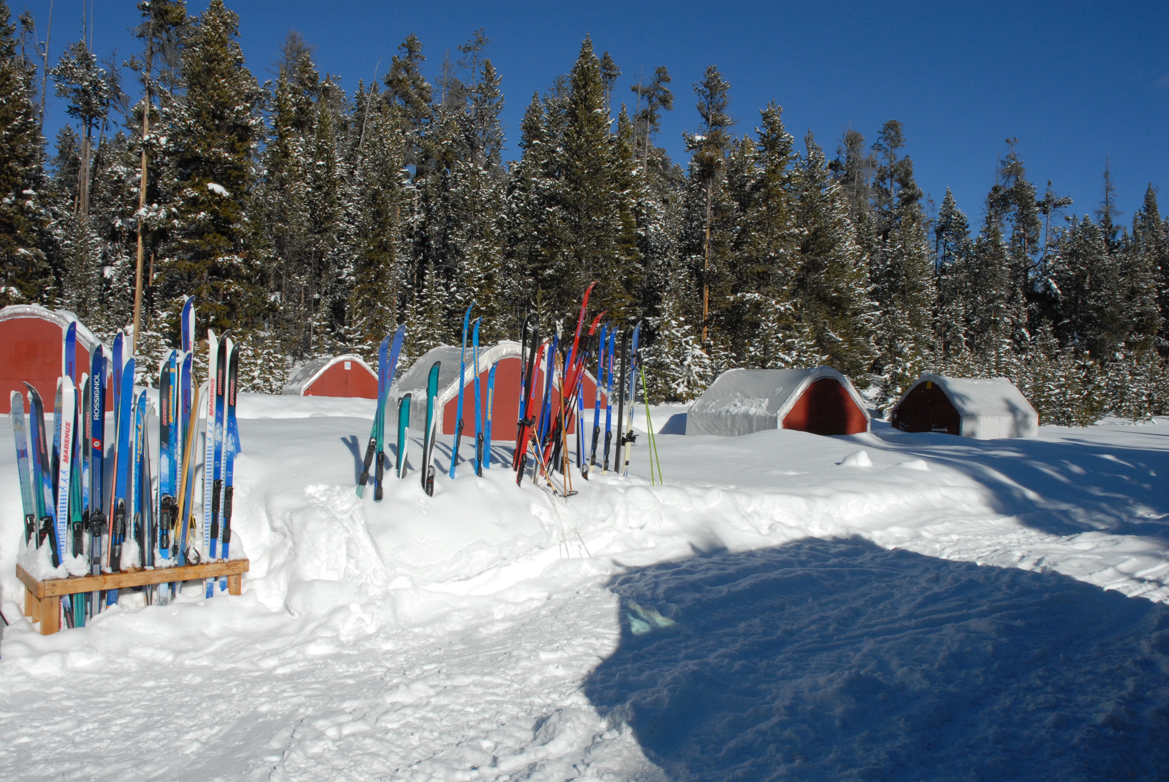
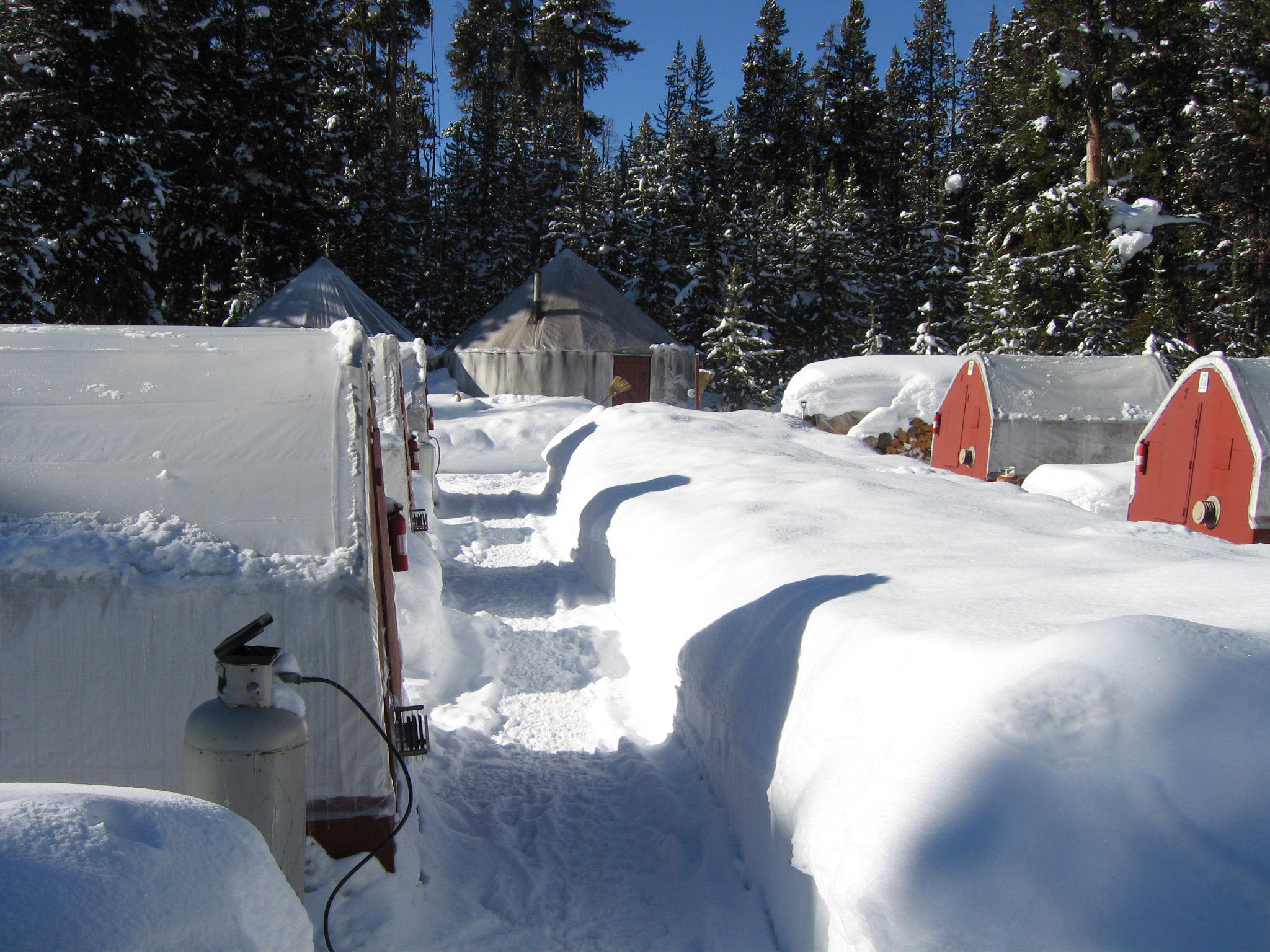
Snow van; Yurt camp at Canyon (small structures are the sleeping "yurtlets", with propane heat and battery-powered lights)

 [JB]
[JB]
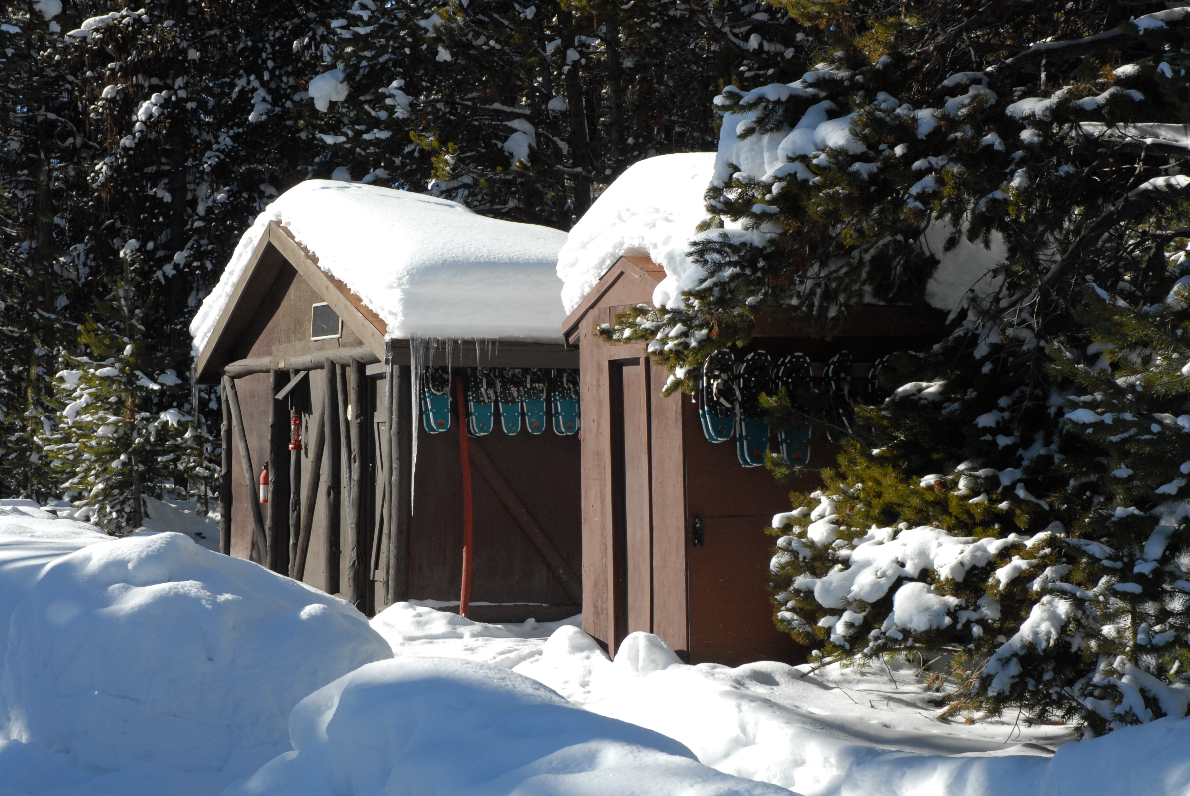
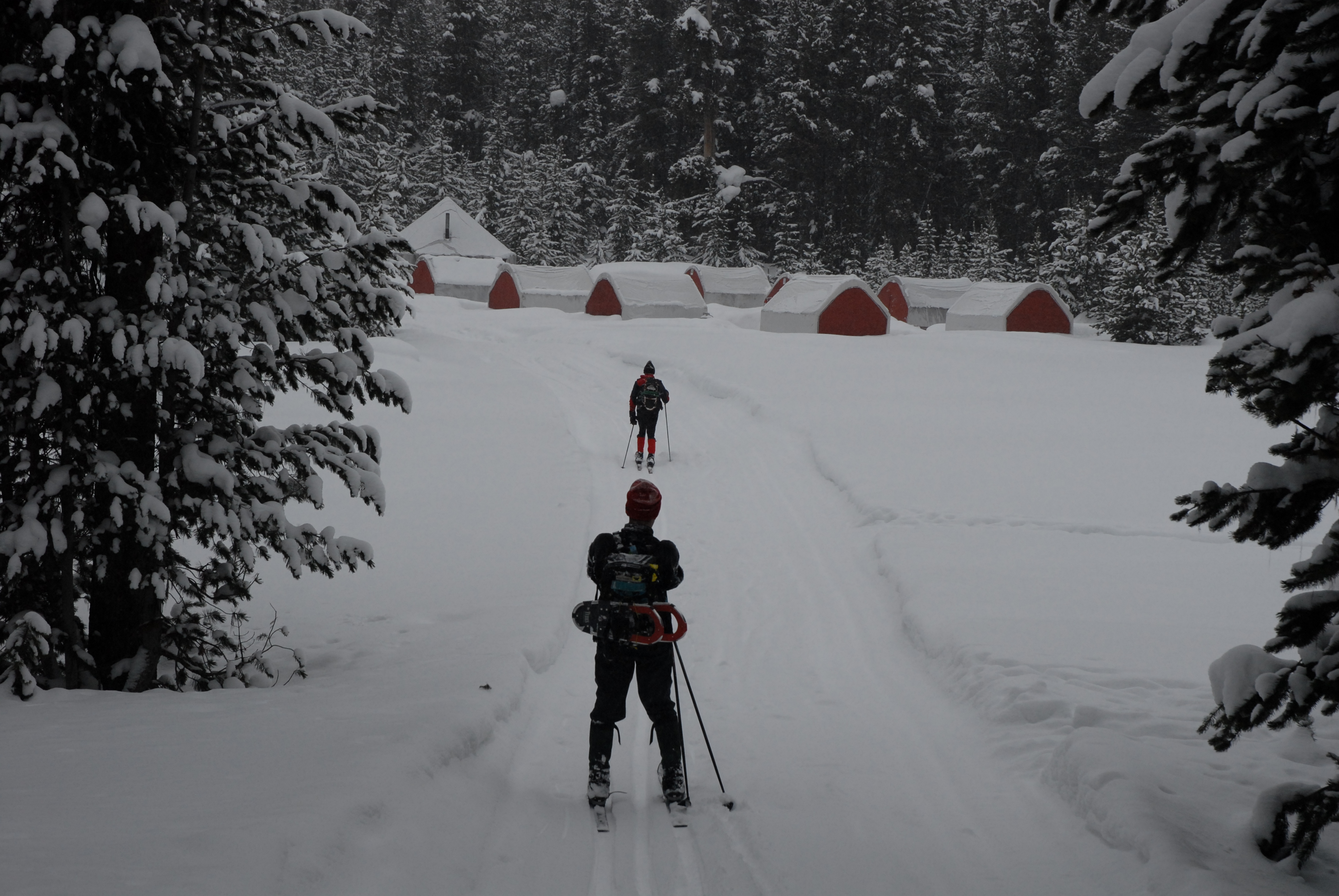
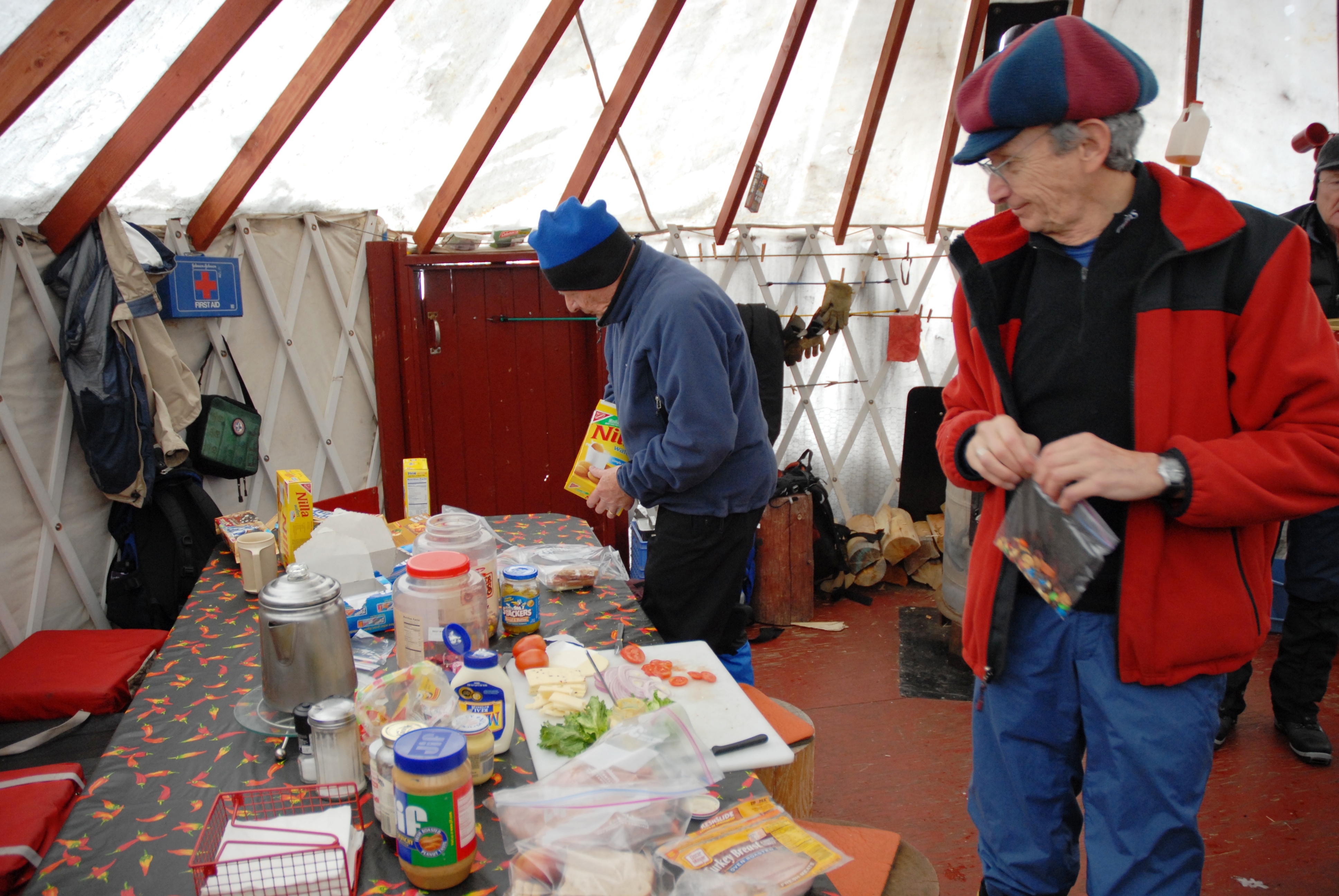
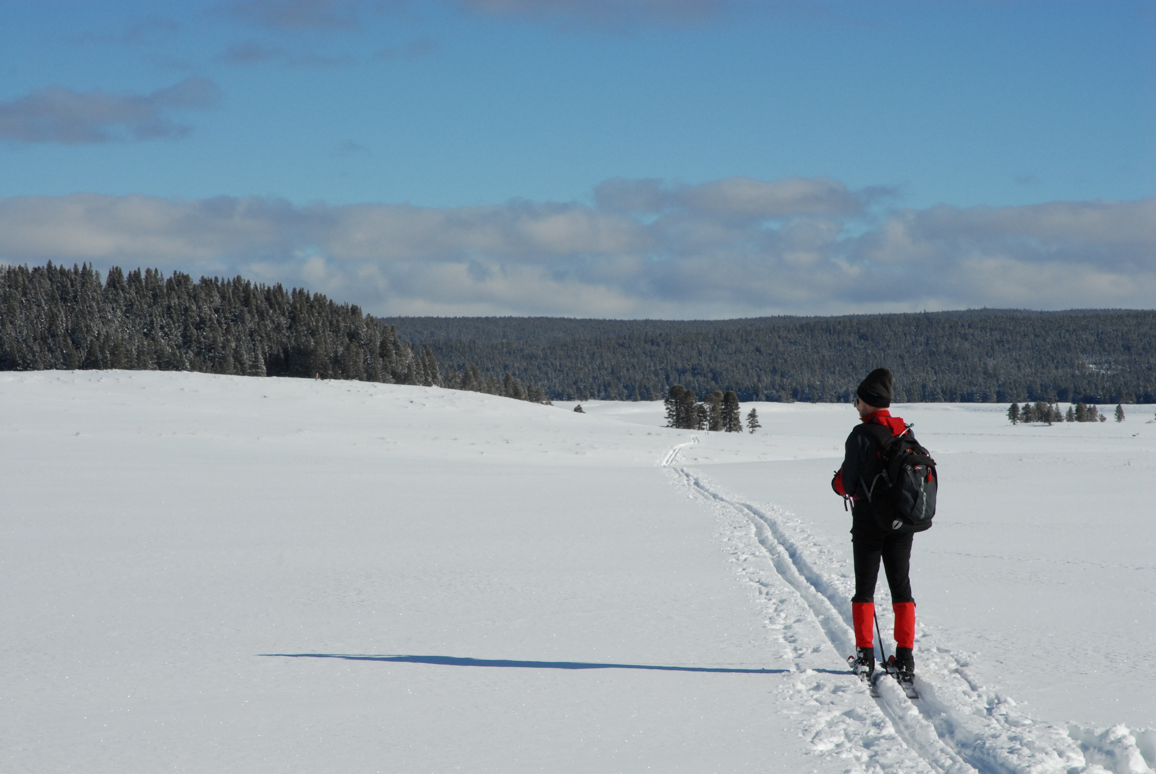
Yurt camp outhouses, shower, and snowshoe storage; Skiing back to camp; Guests making their own lunches in the dining yurt
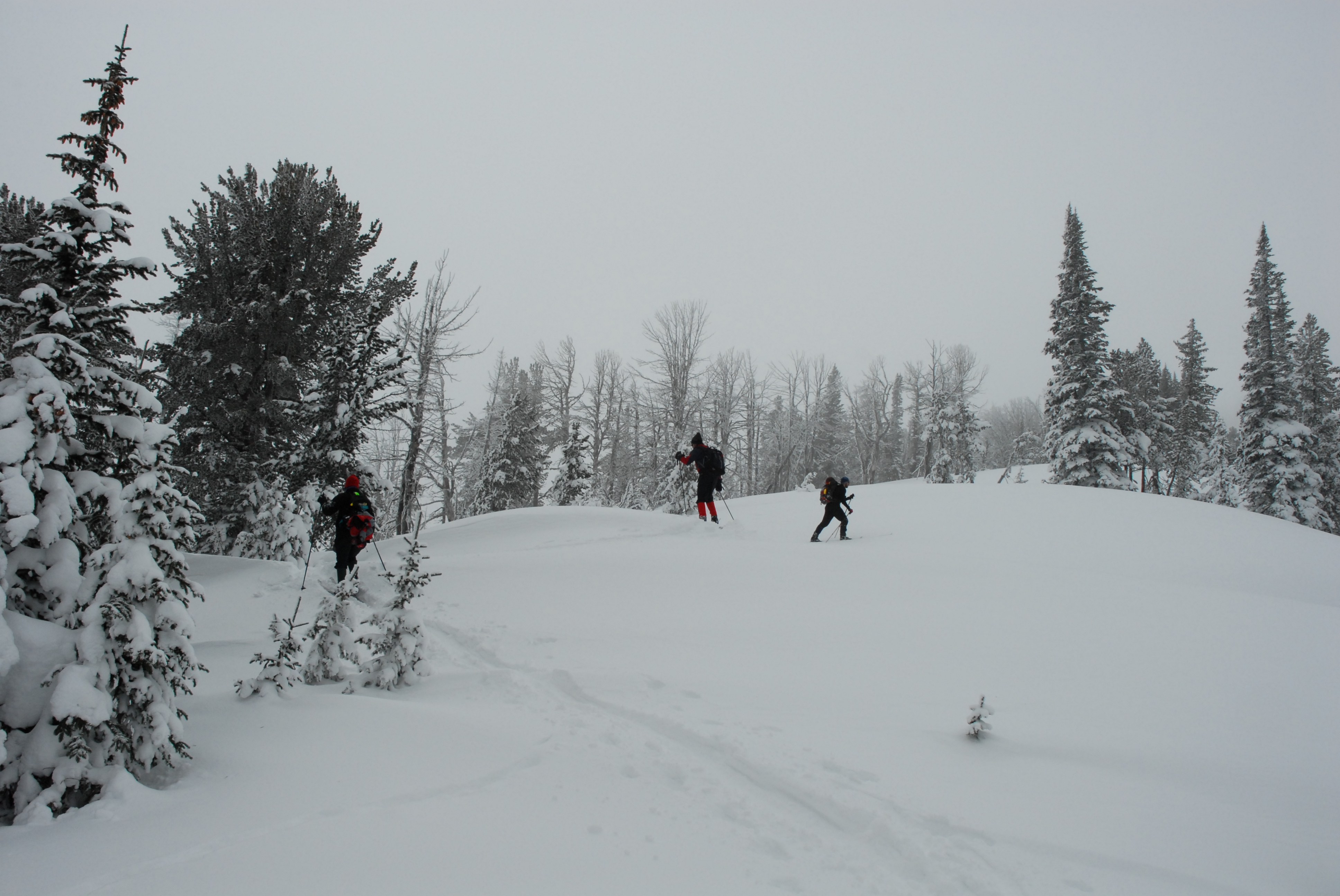
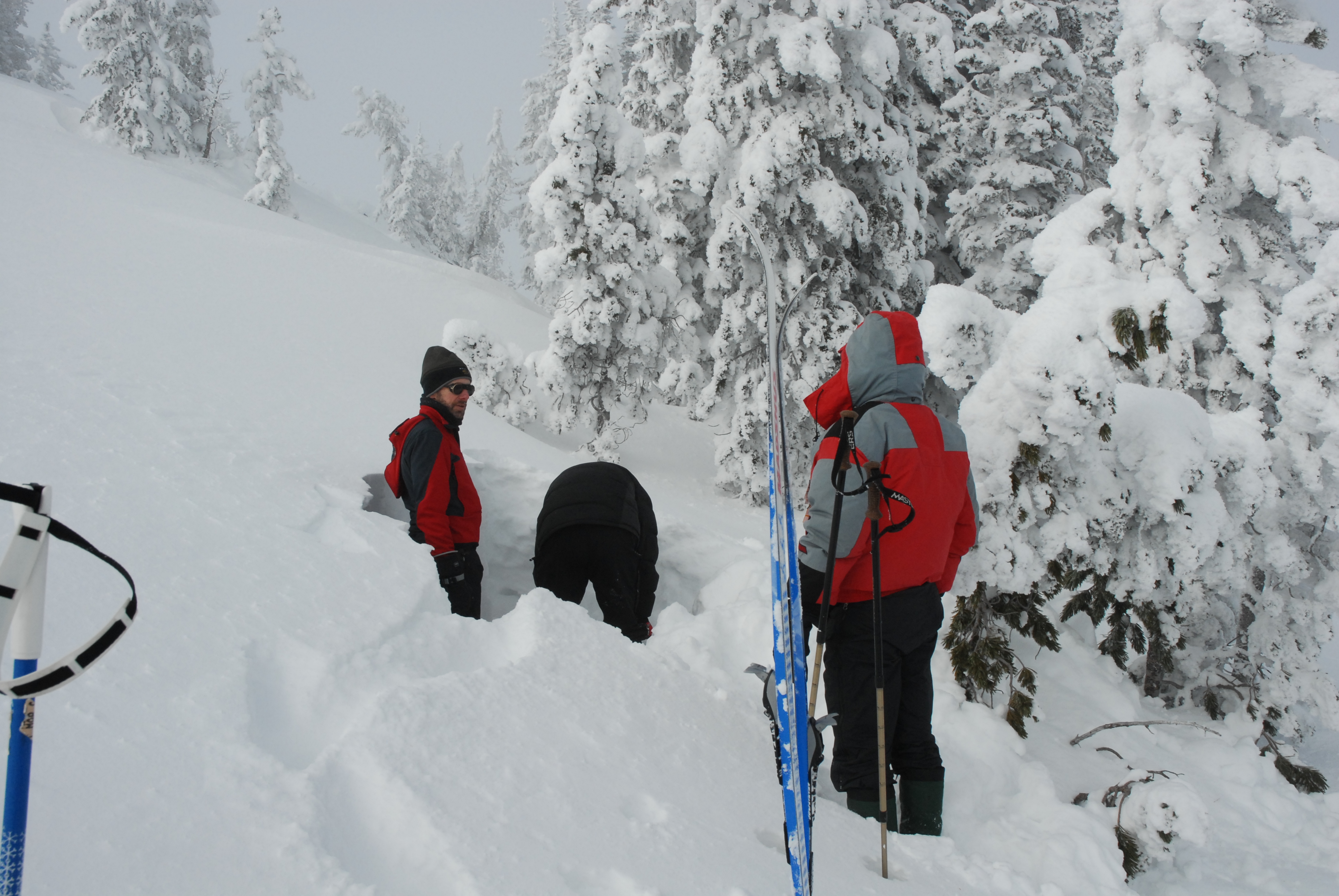
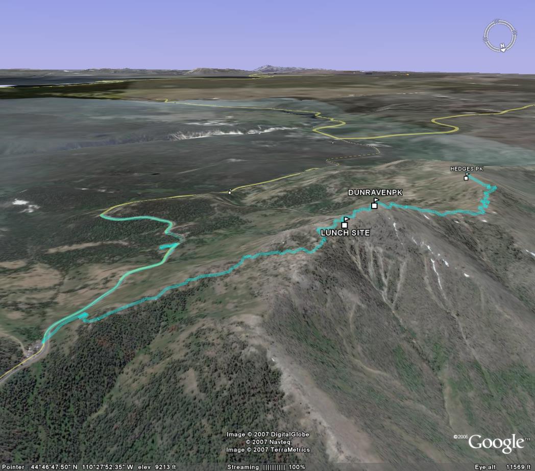
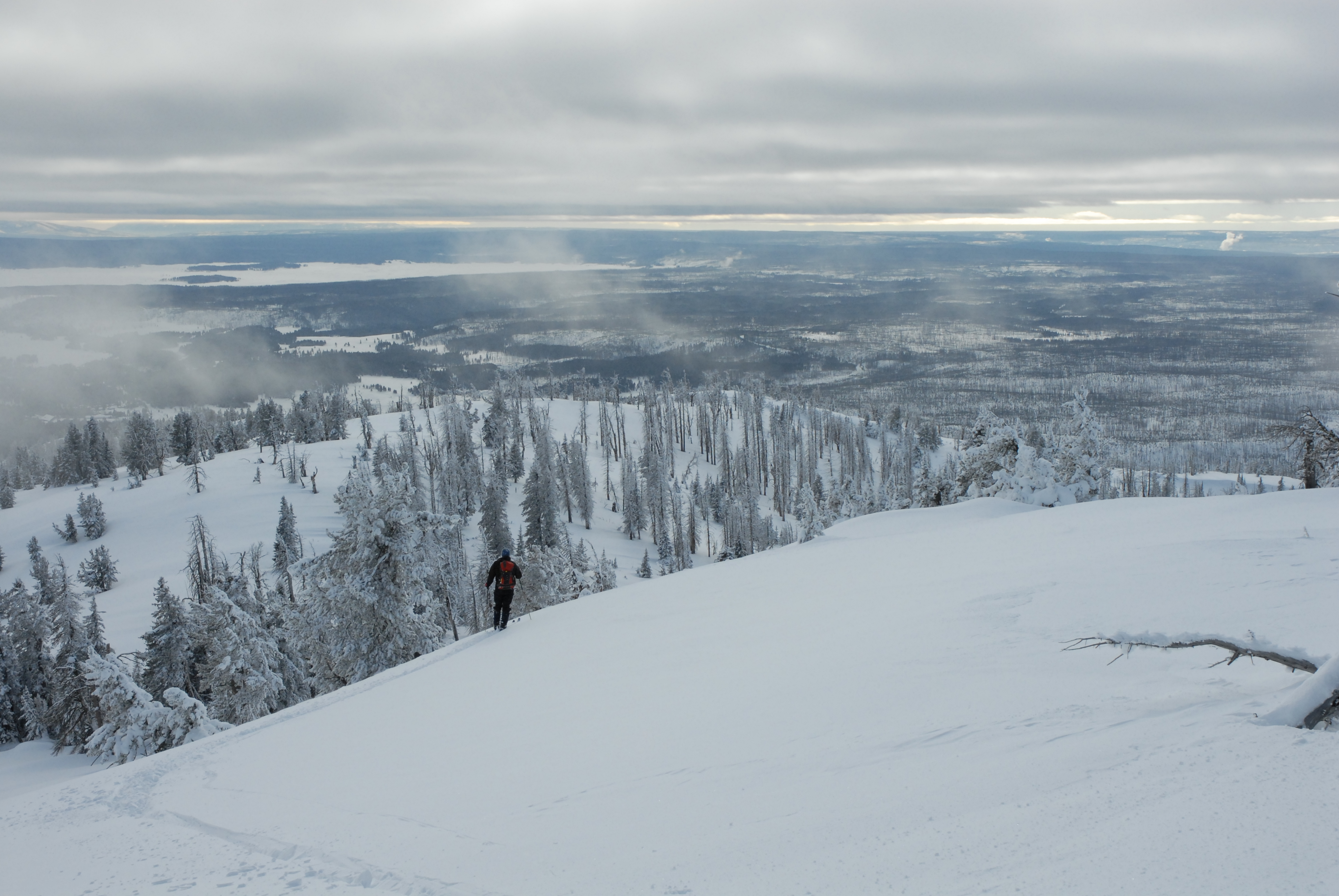
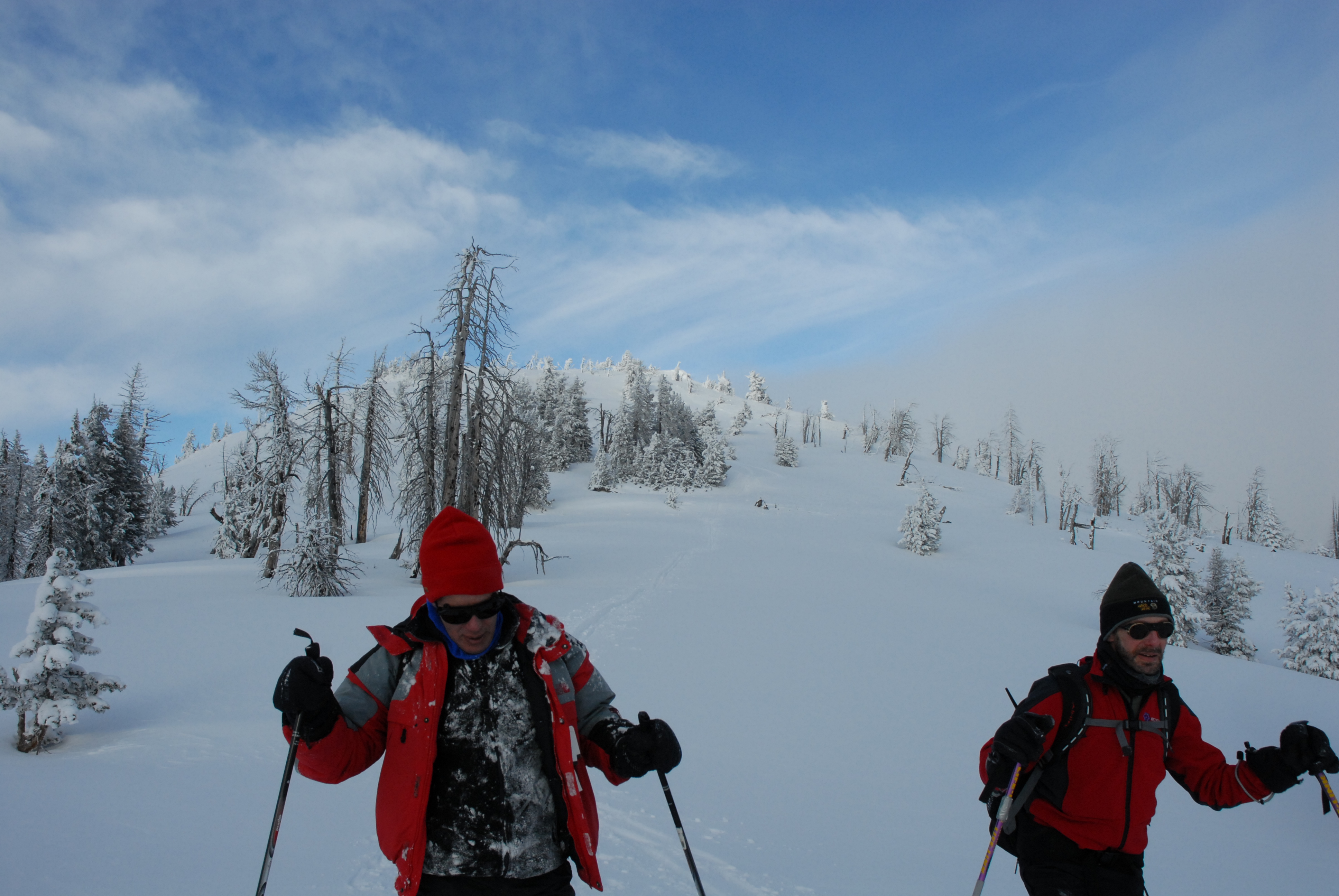
Excursion south from Dunraven Pass (8800'); Rob after initial pitch [JB]; Jeremy digging an avalanche test pit (conditions were good); Larry skiing near summit; GPS track.
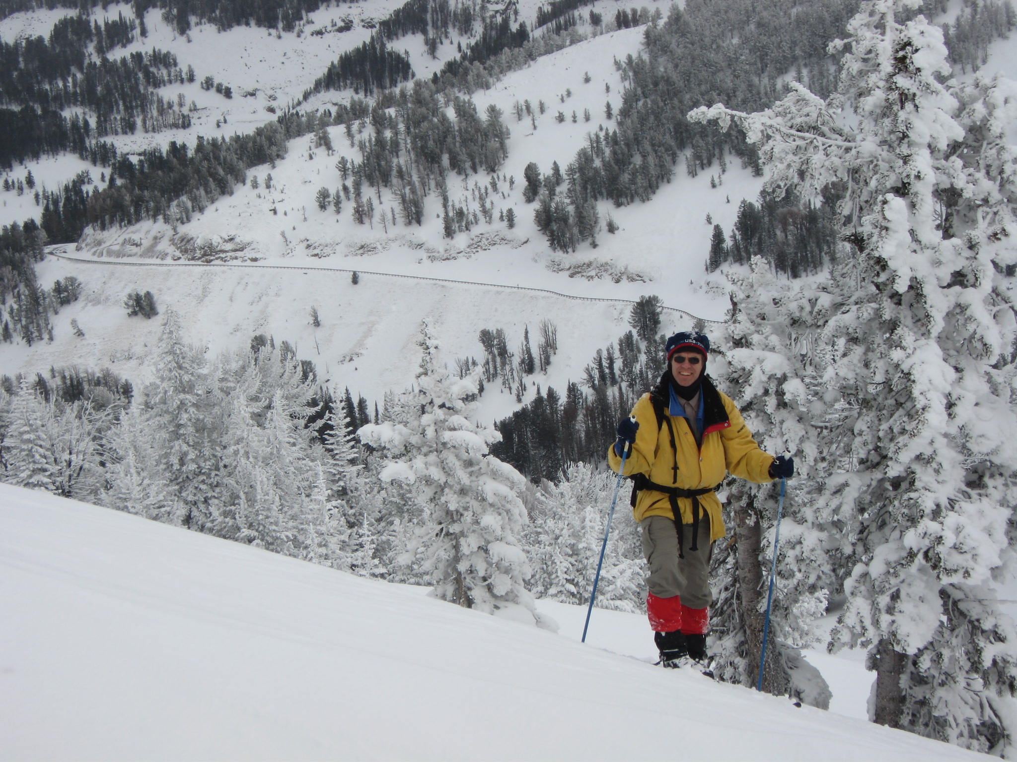
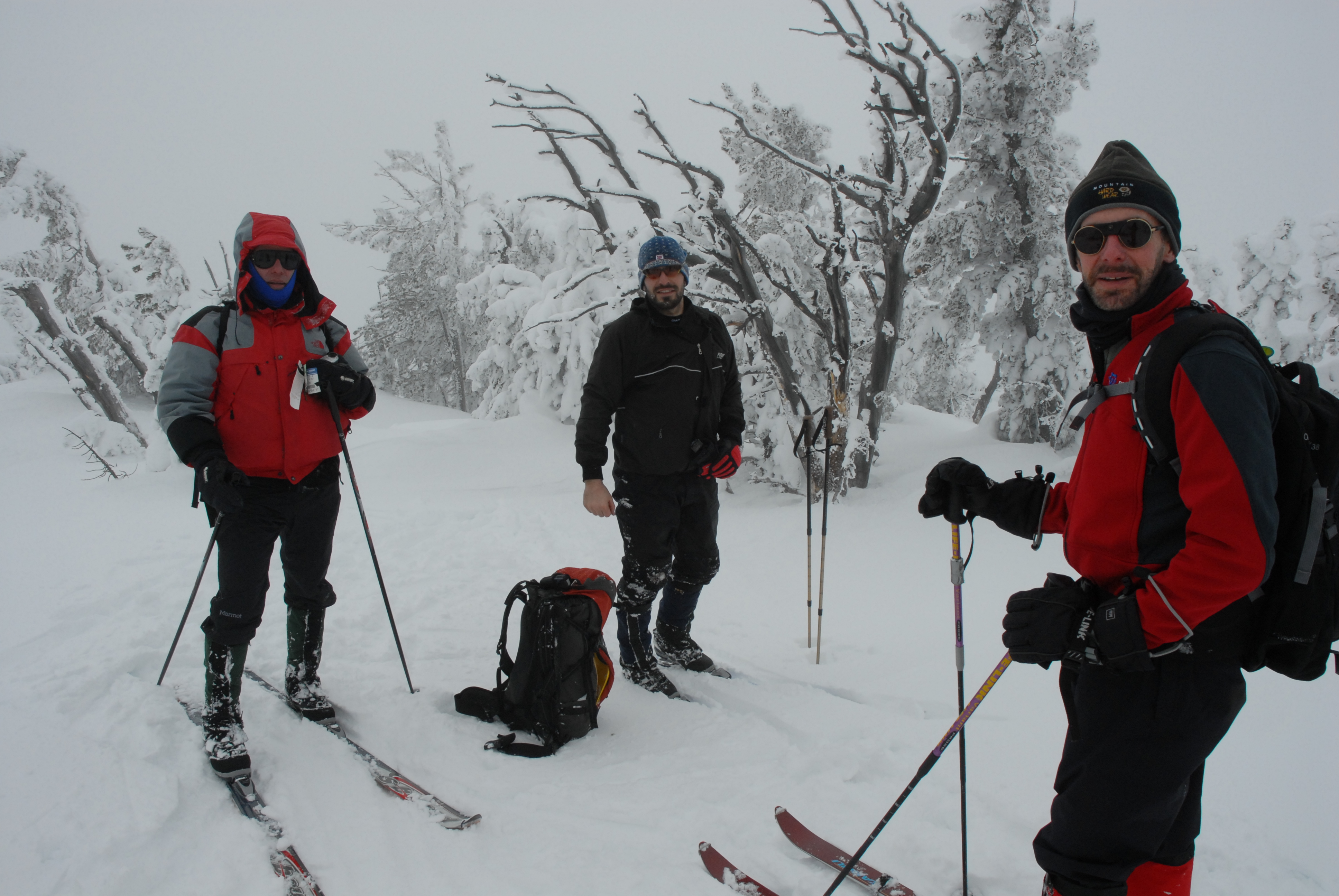
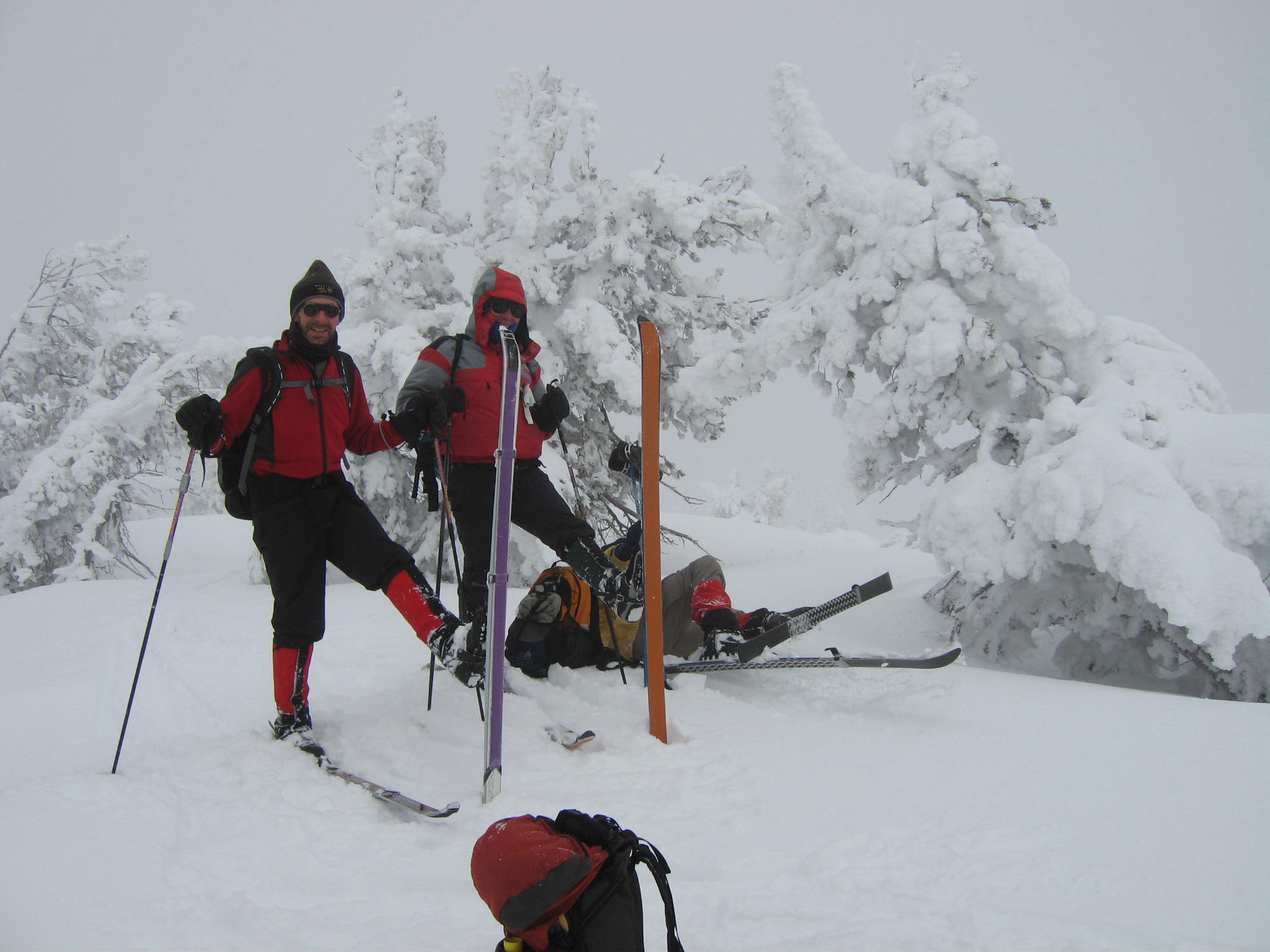
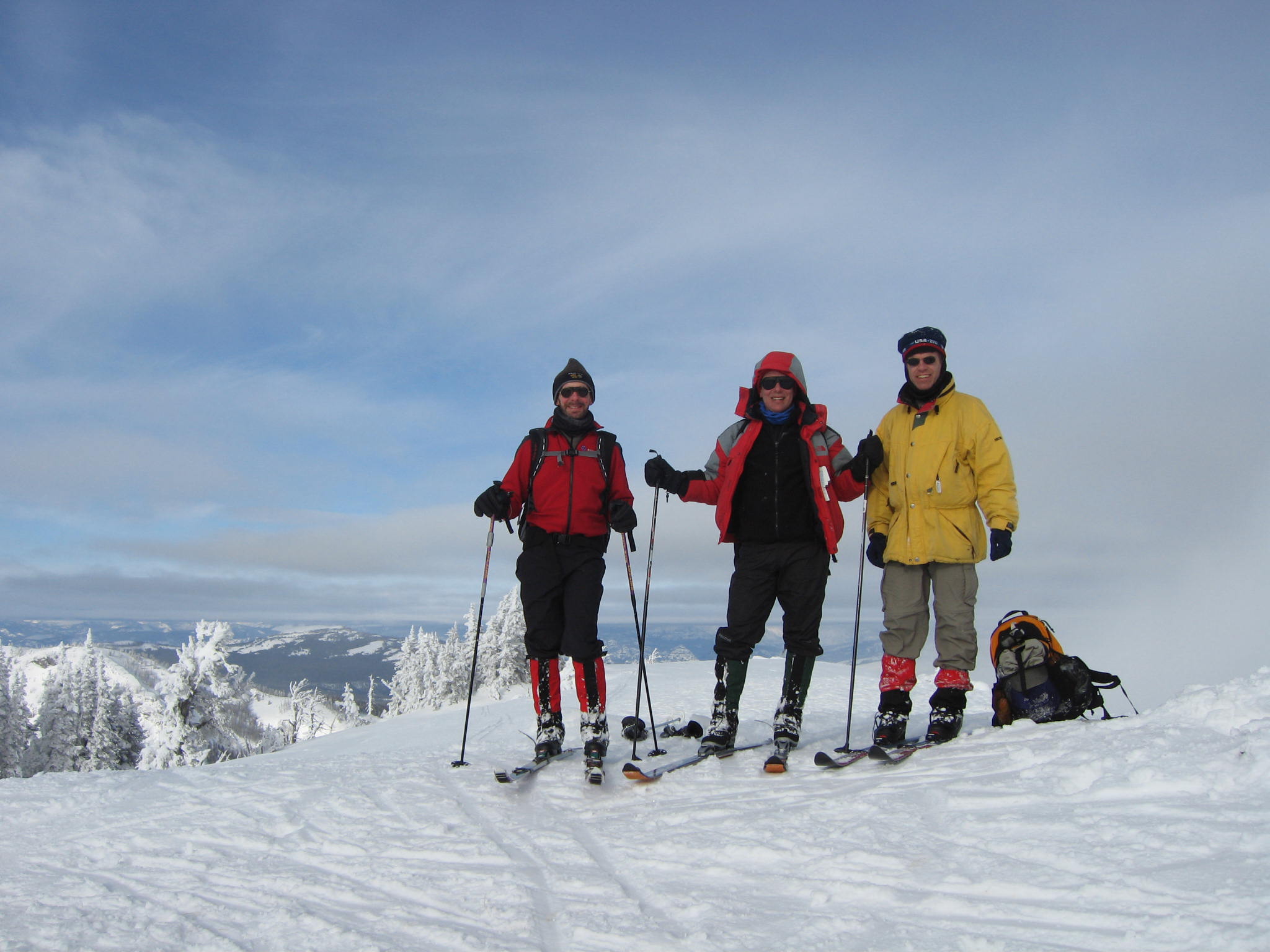
Icy trees; Larry, Jeremy, and Jeff on summit of Dunraven (9904'); Rob falling "gracefully"; then posing on summit [JB]
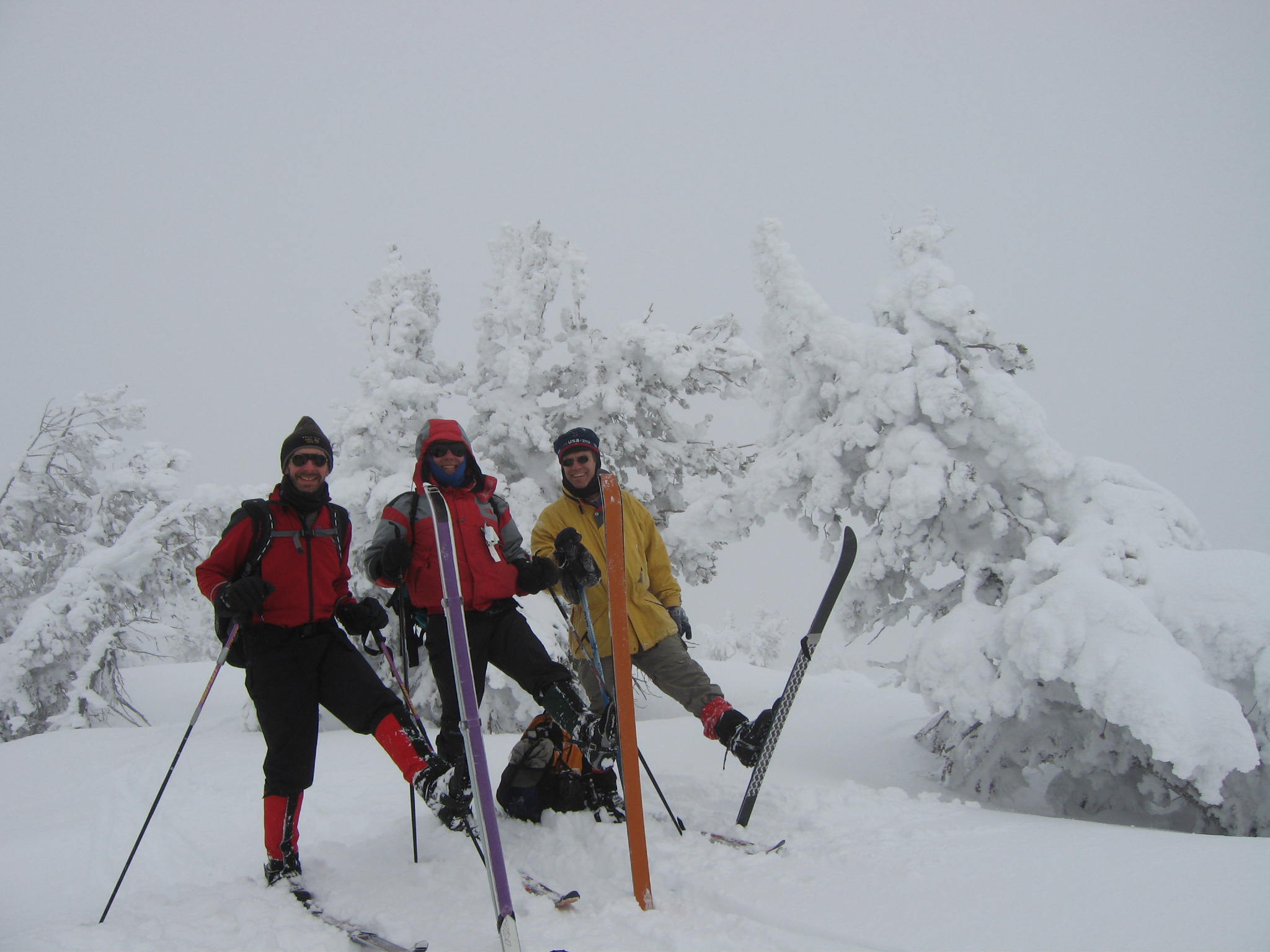
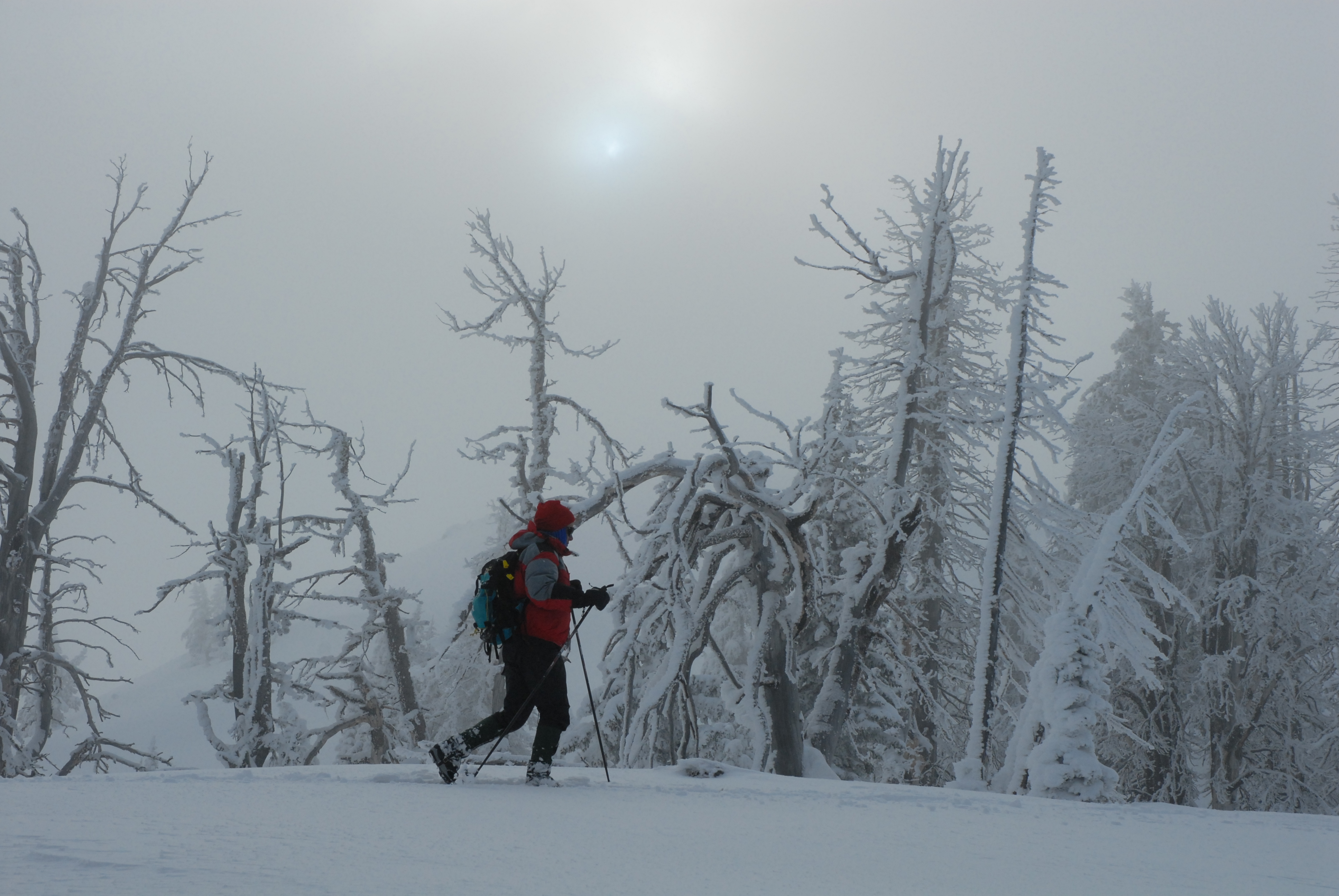
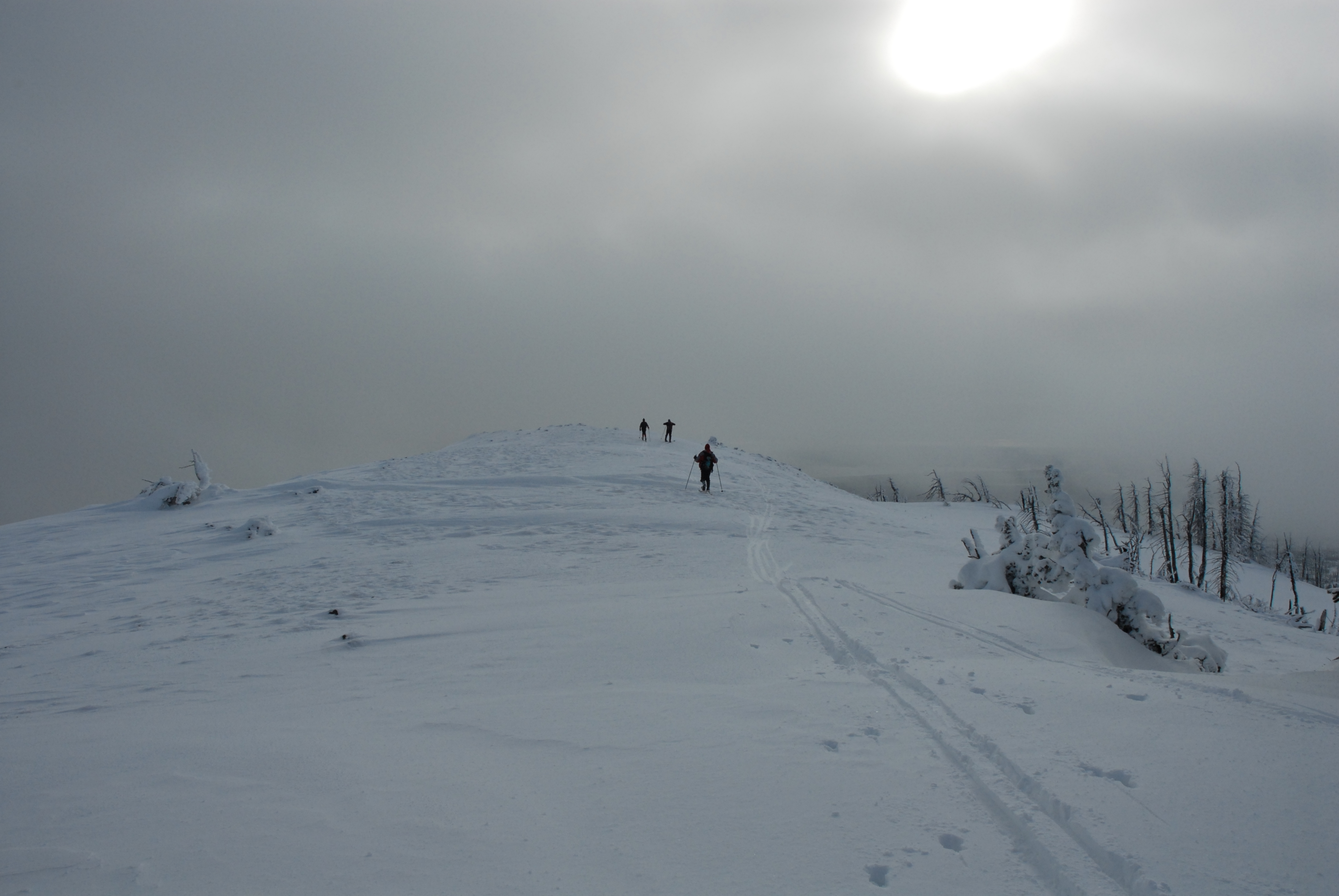
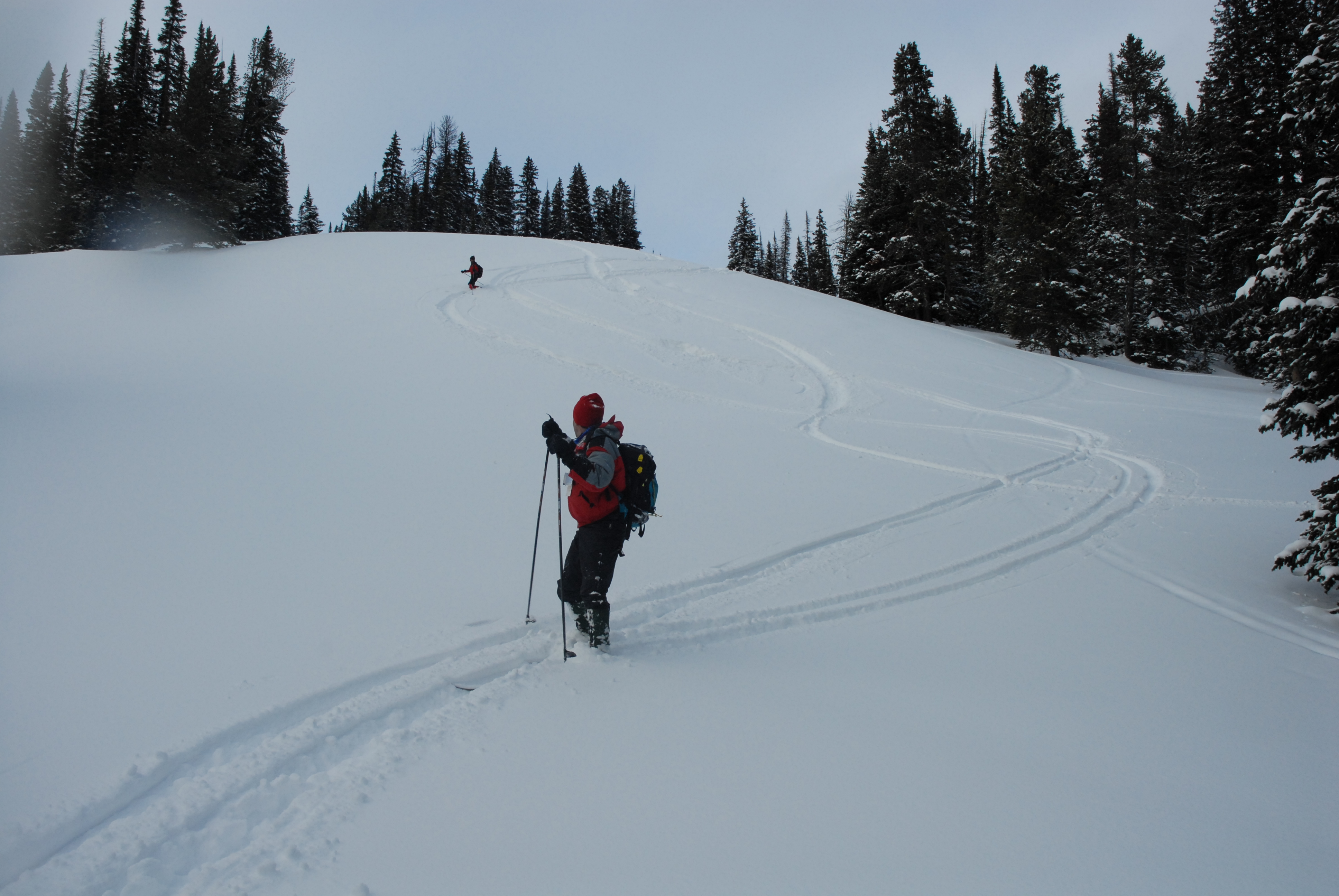
Big sky clearing to the north above Hedges Peak; Approaching summit of Hedges Peak (9685'); Jeff, Larry, and Rob posing on summit of Hedges [JB]
![]()
View south from Hedges Peak; View back up Hedges after glade run; Practicing more powder turns
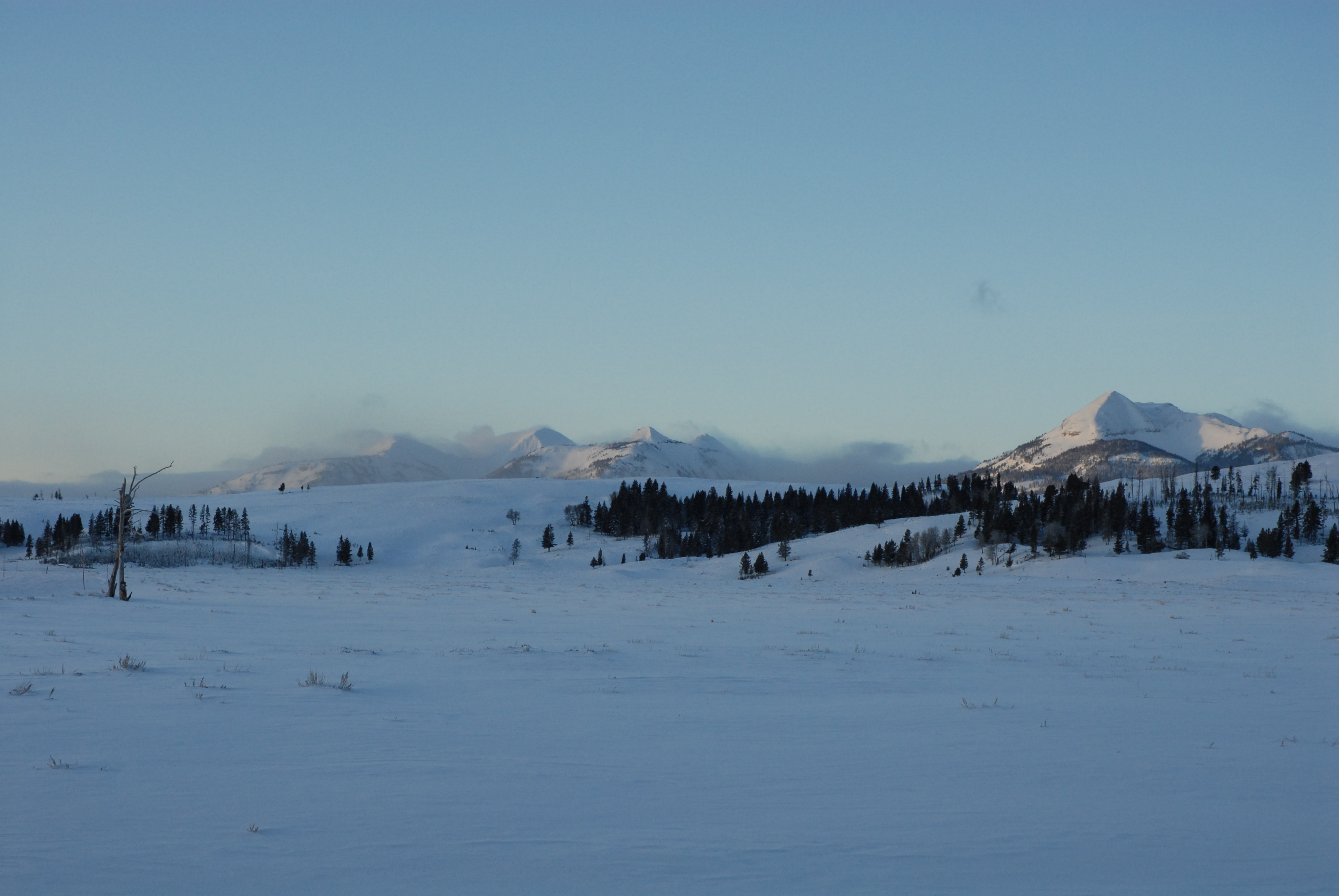
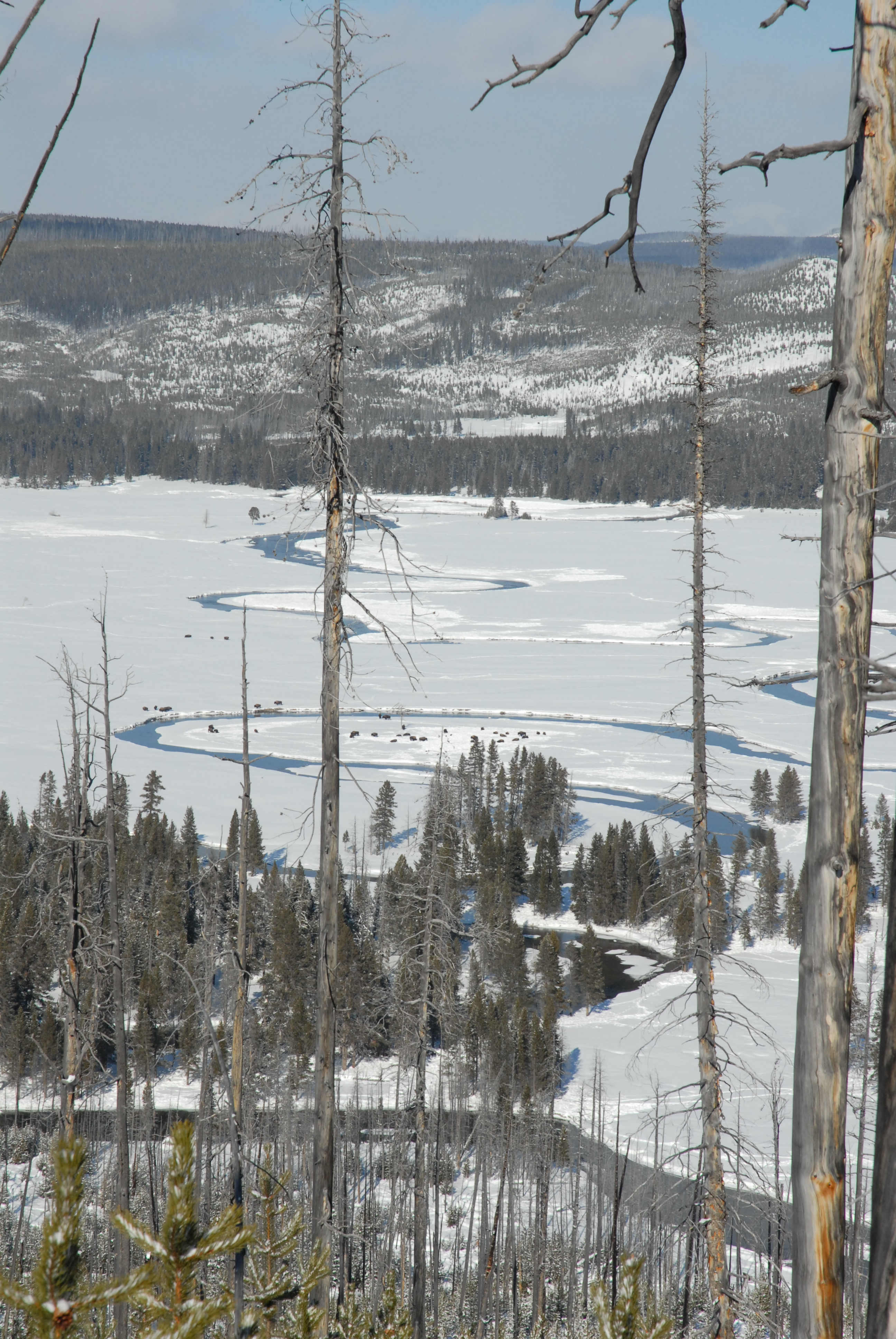
Hayden Valley route (Mary Mountain Trail); Track left by wolf pack (3-4 animals) heading to high ground; Distant view north of Hedges, Dunraven, and Washburn mountains
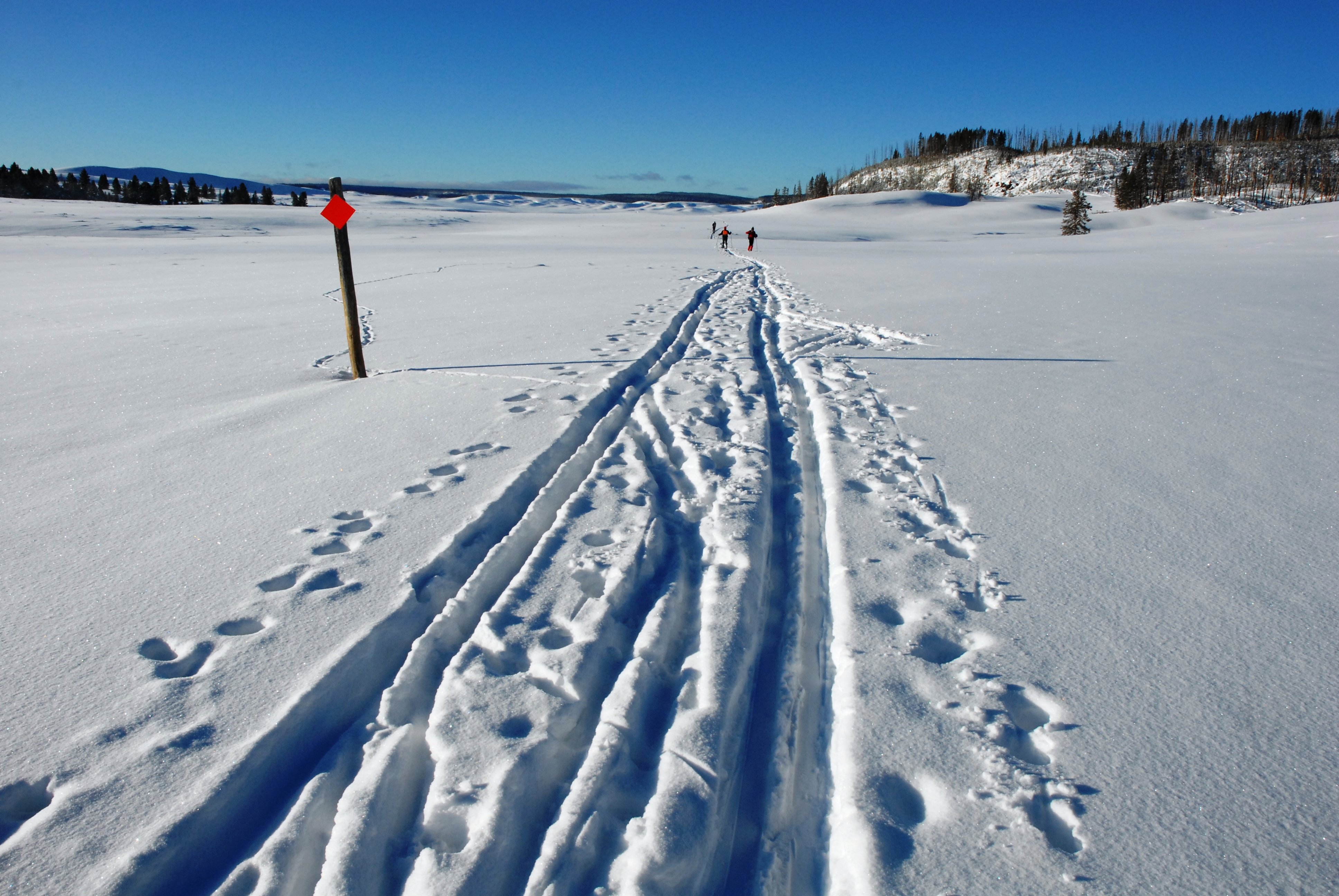
Jeff Barish in Hayden Valley; Group of lawbreakers (who shall remain nameless ;) in Violet Creek
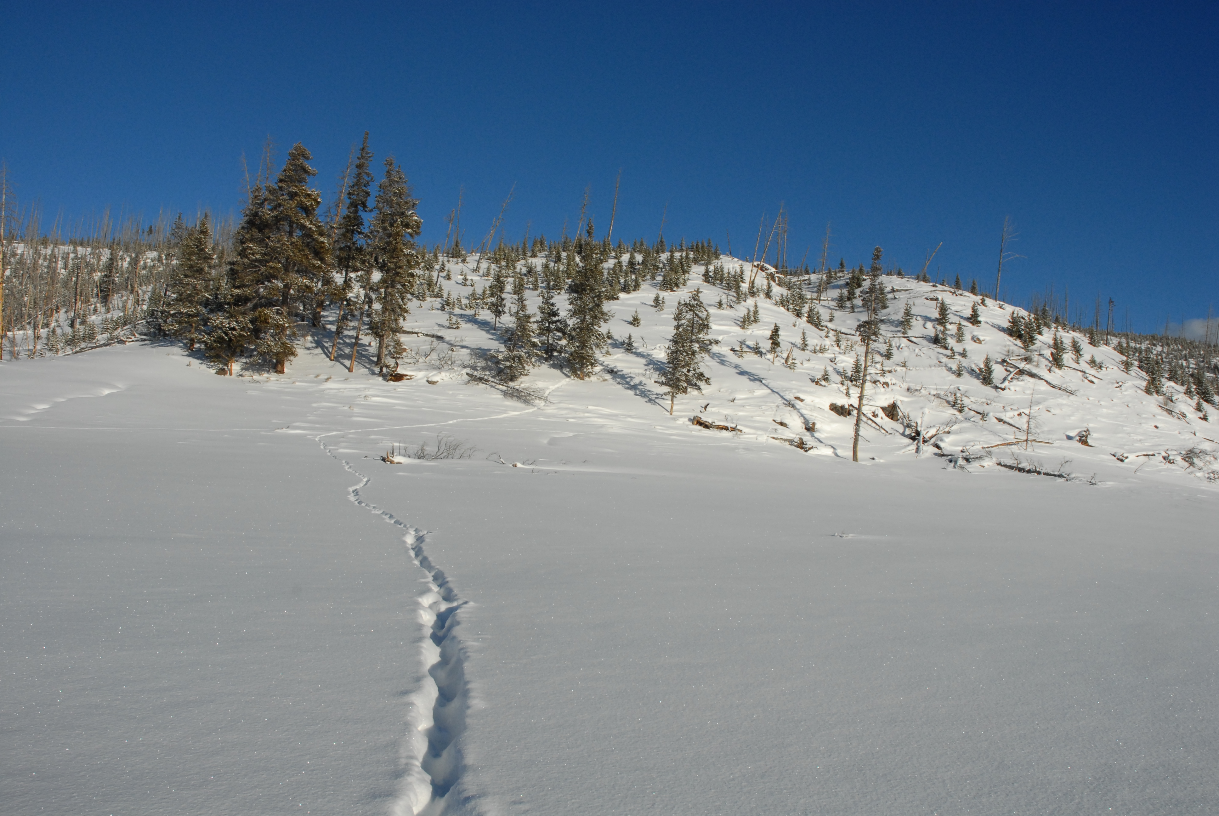
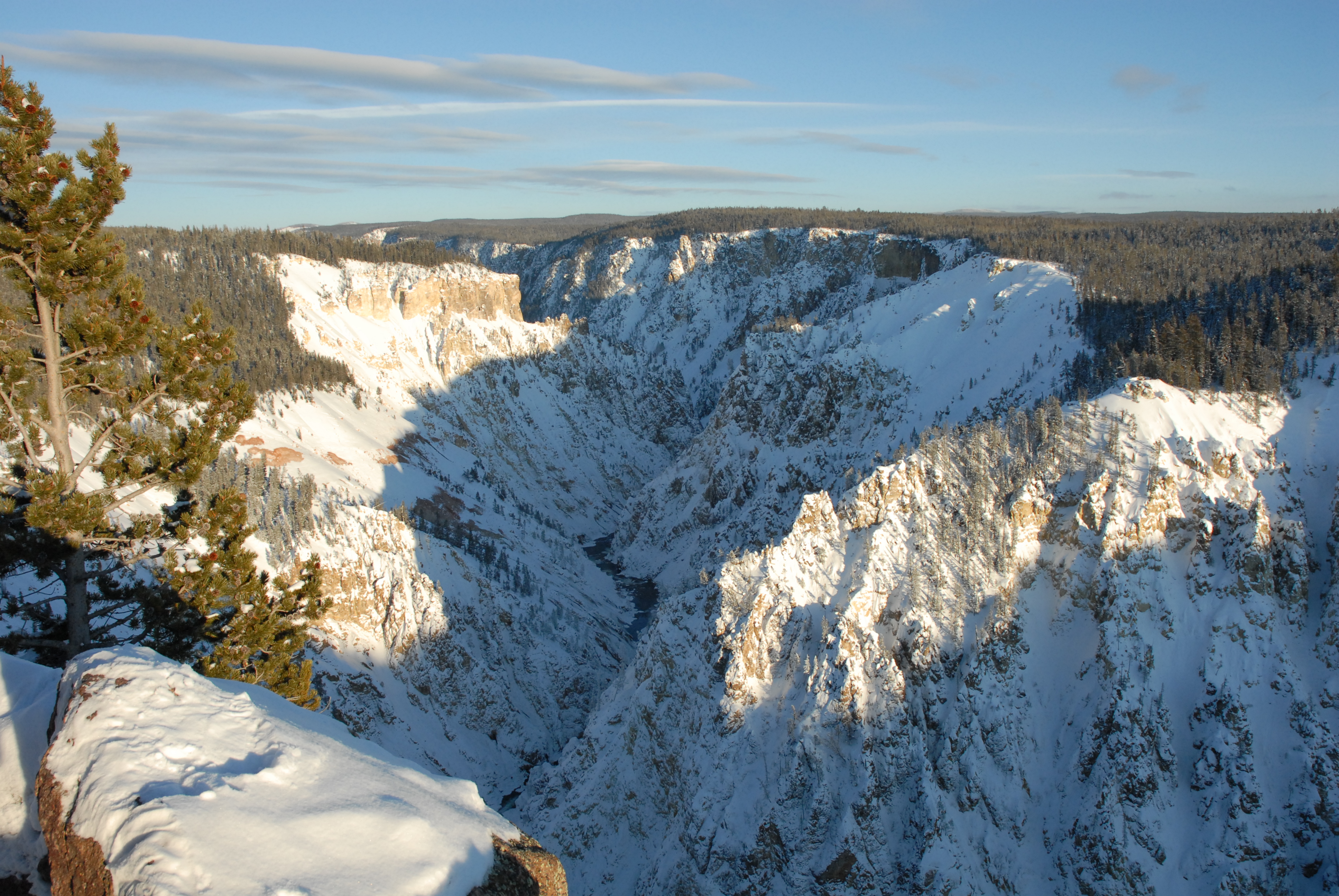
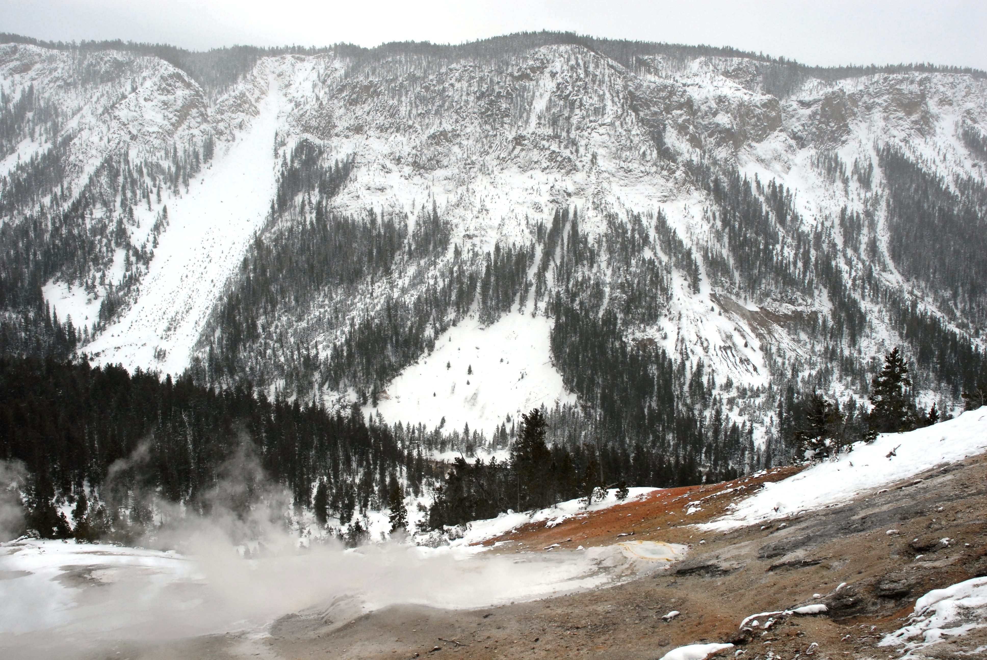
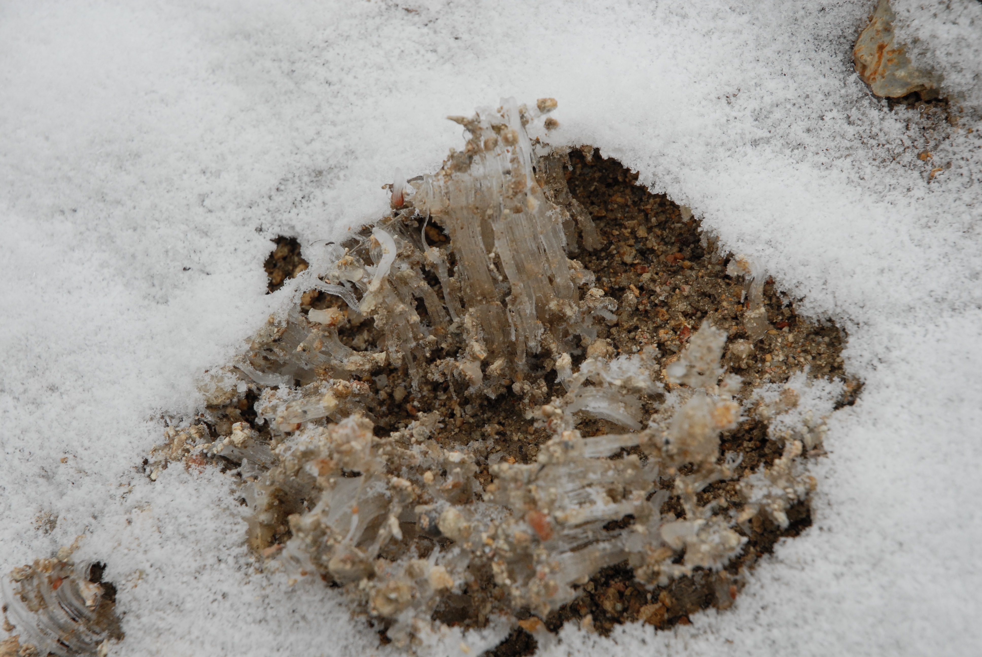
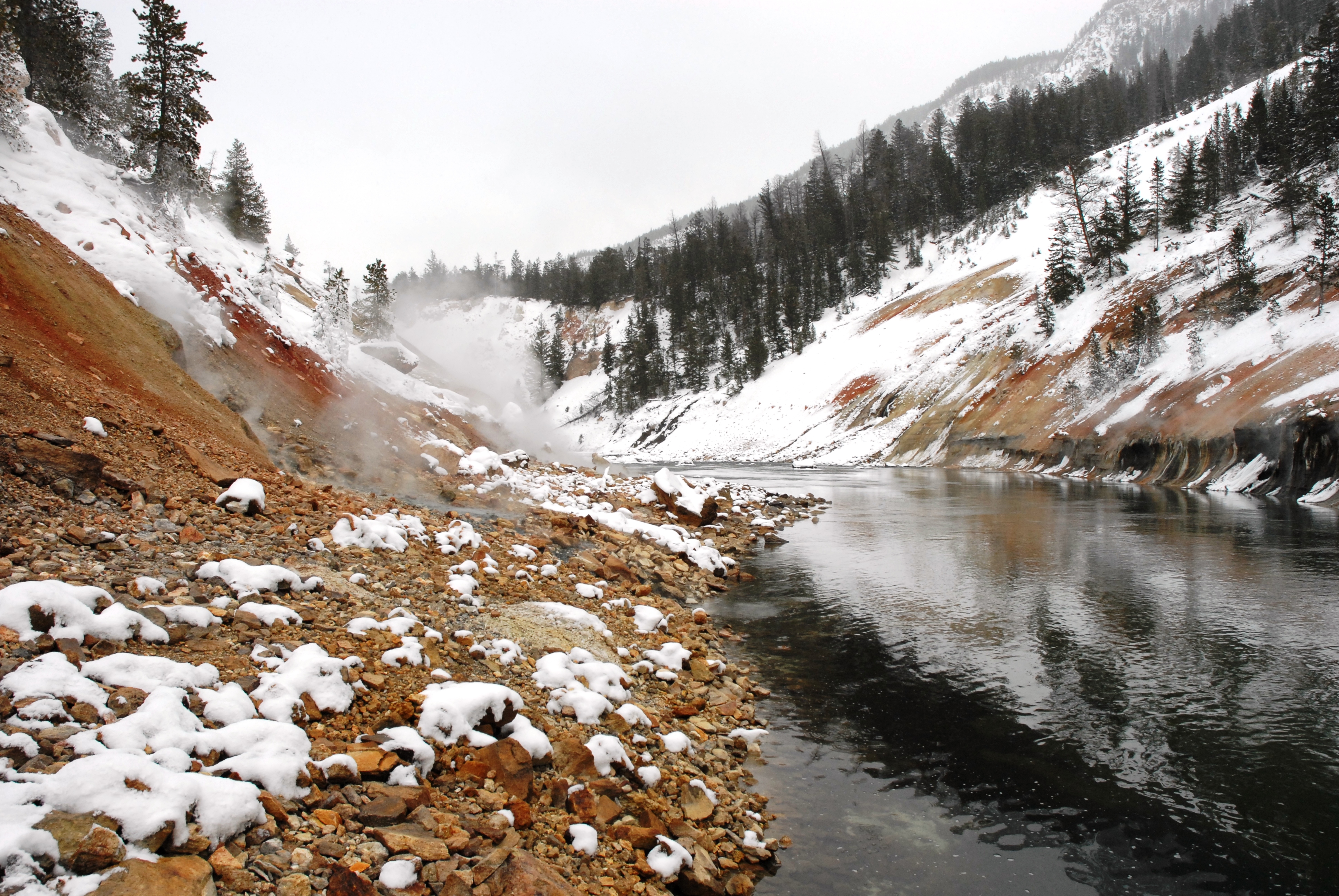
Snow-covered Grand Canyon of the Yellowstone looking north from the west rim (8100'); Canyon thermal area during descent to Sevenmile Hole; "Pencil ice" pushing upward in the sandy thermal area
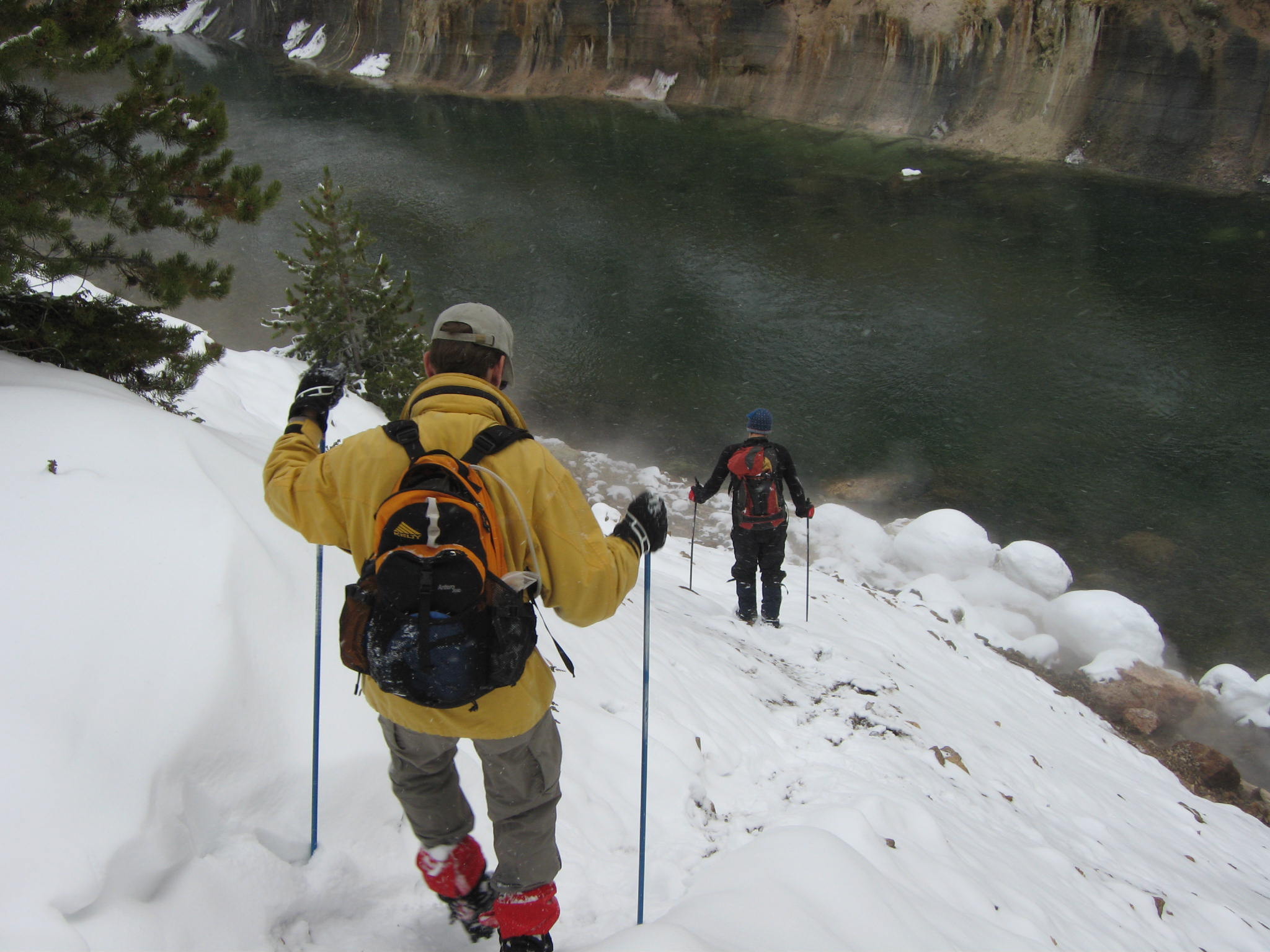
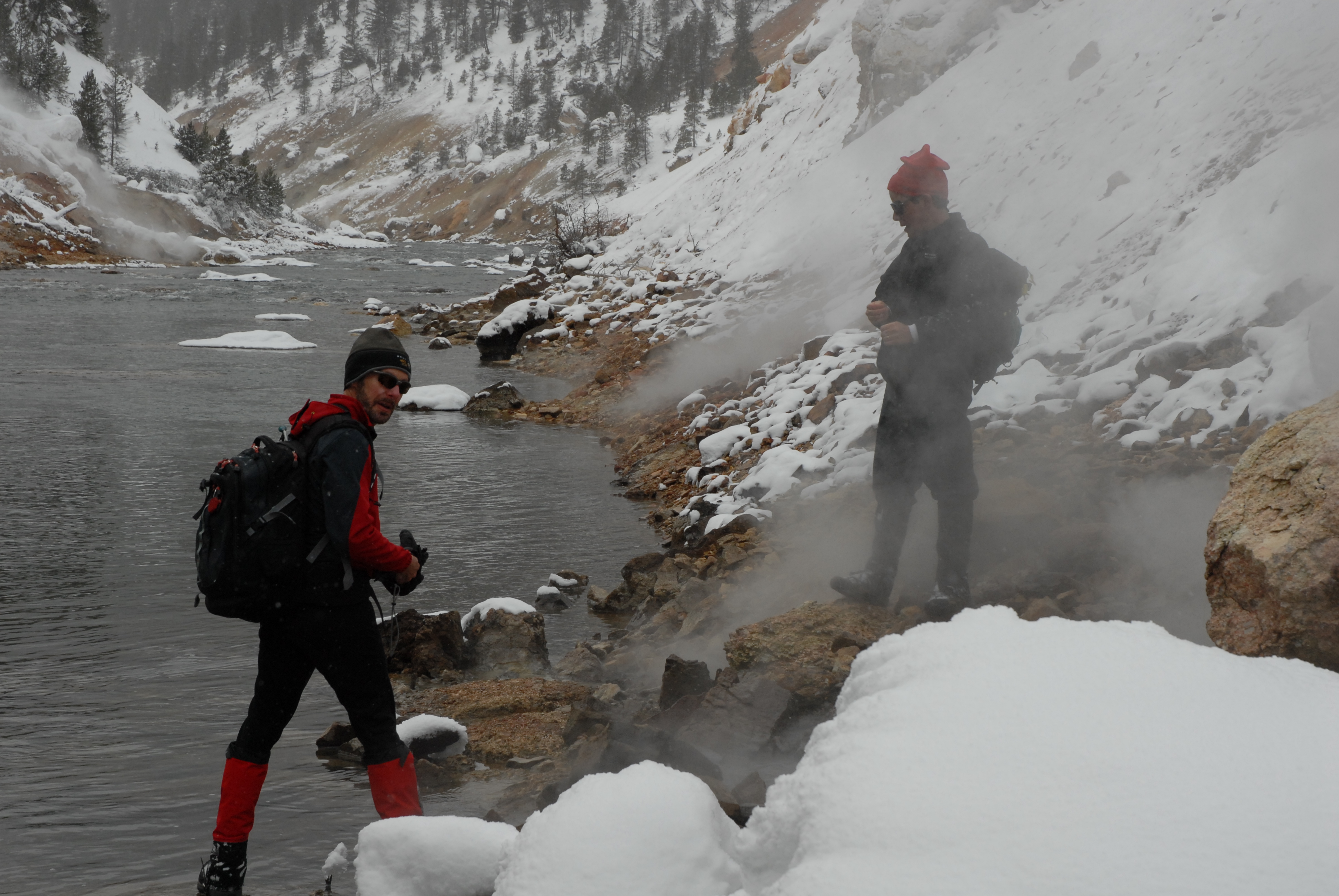
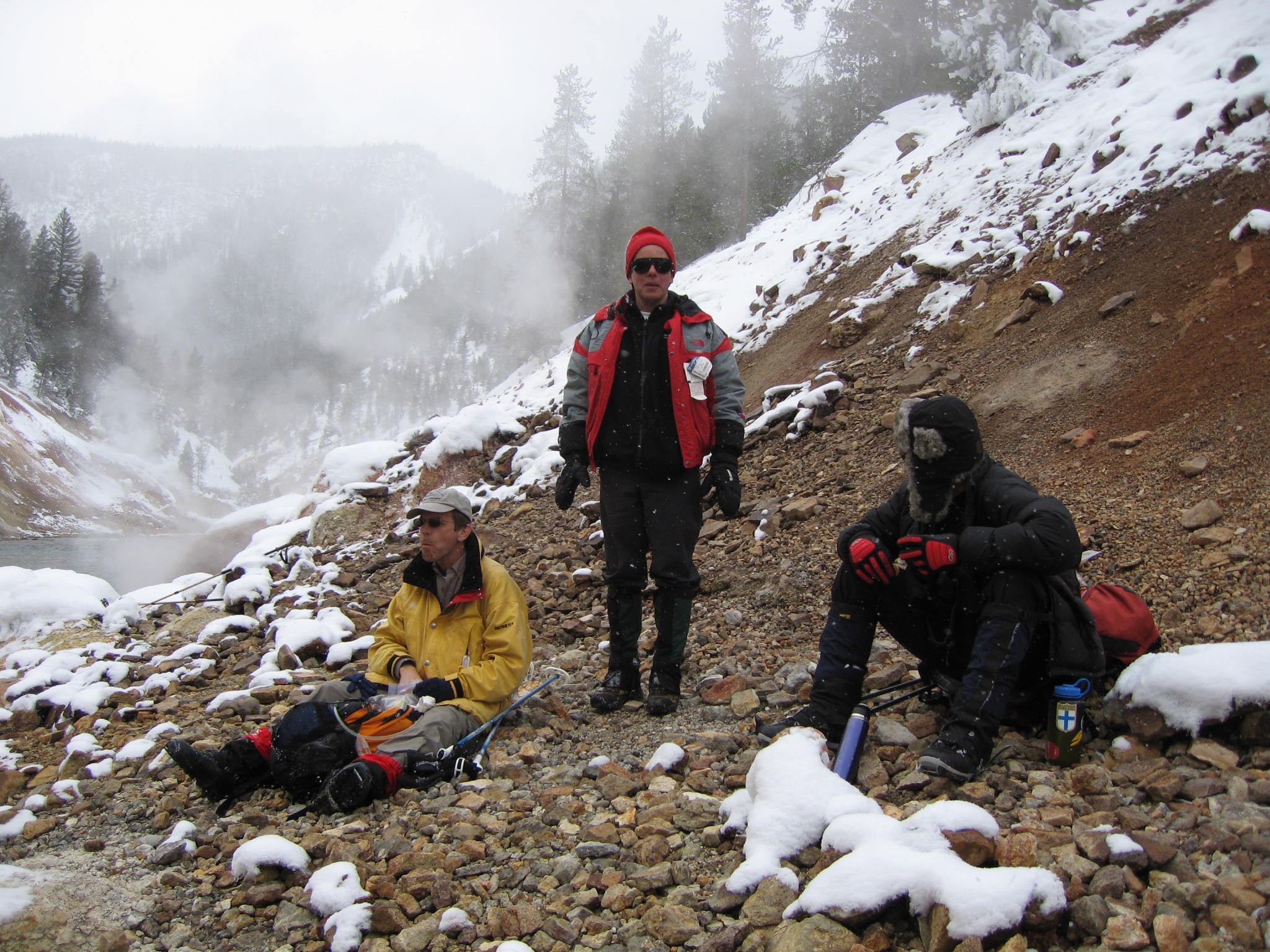
Final descent to river level (Rob, with Larry below)[JB]; At the Yellowstone River (6850') in Sevenmile Hole; Lunch break [JB]
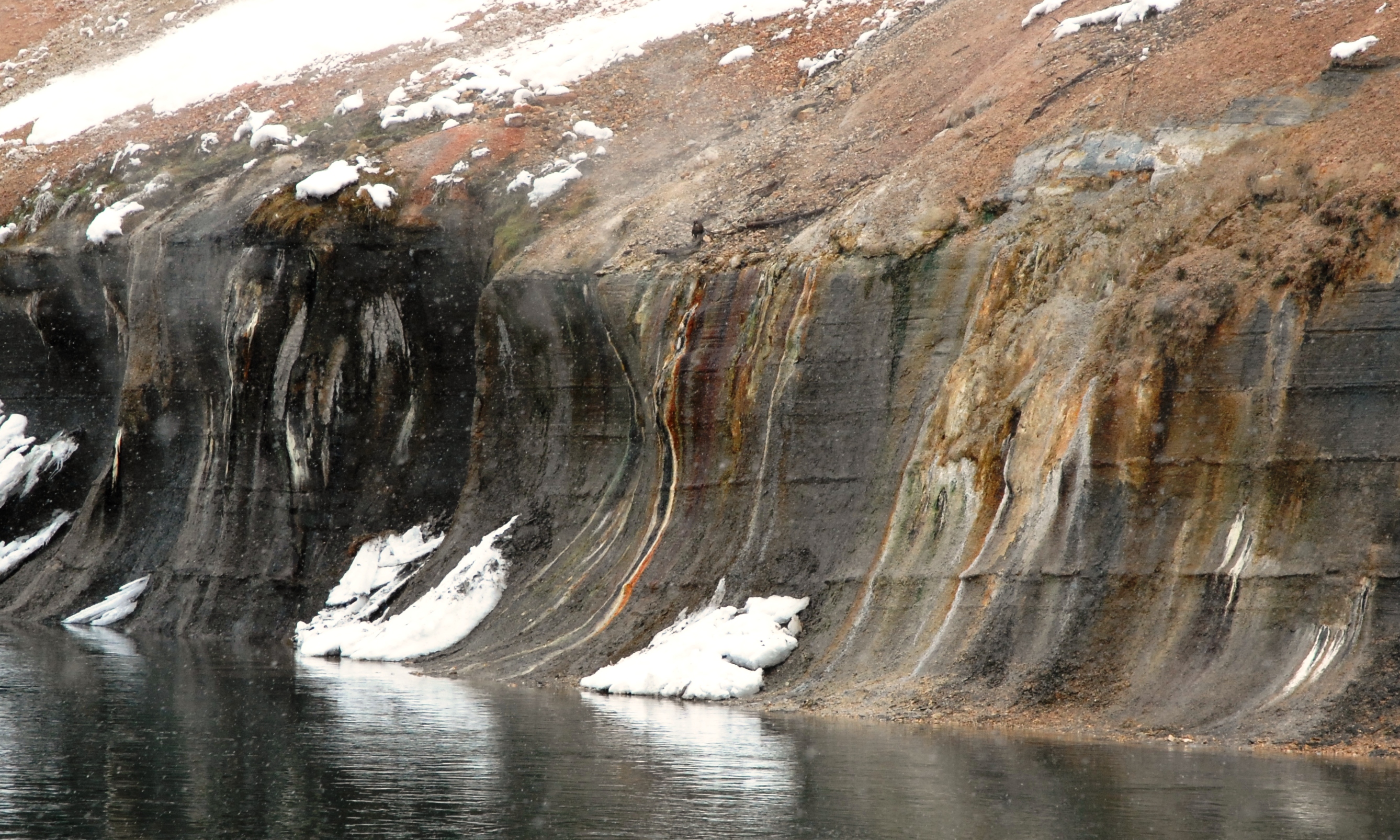
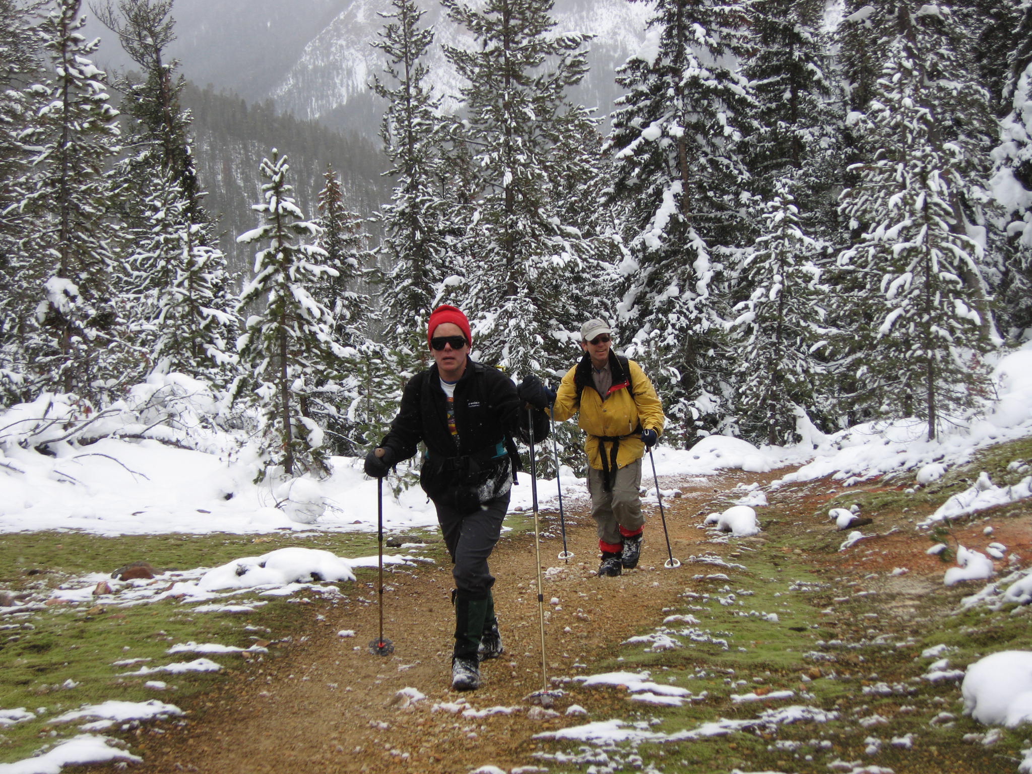
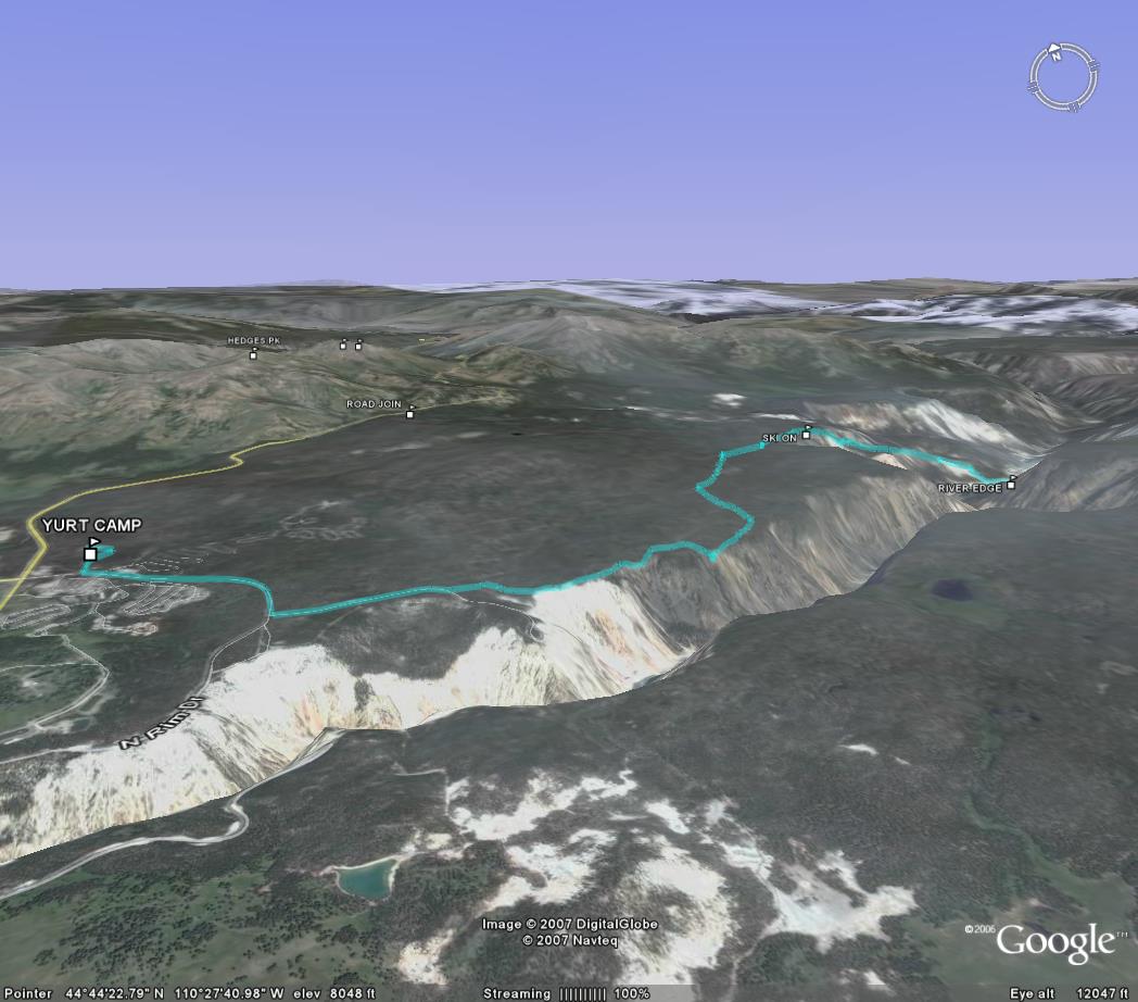
Colorful riverbank; Thermal area draining into the Yellowstone; Larry and Rob hiking back up from the river through a moss-covered geothermal meadow [JB]; GPS track
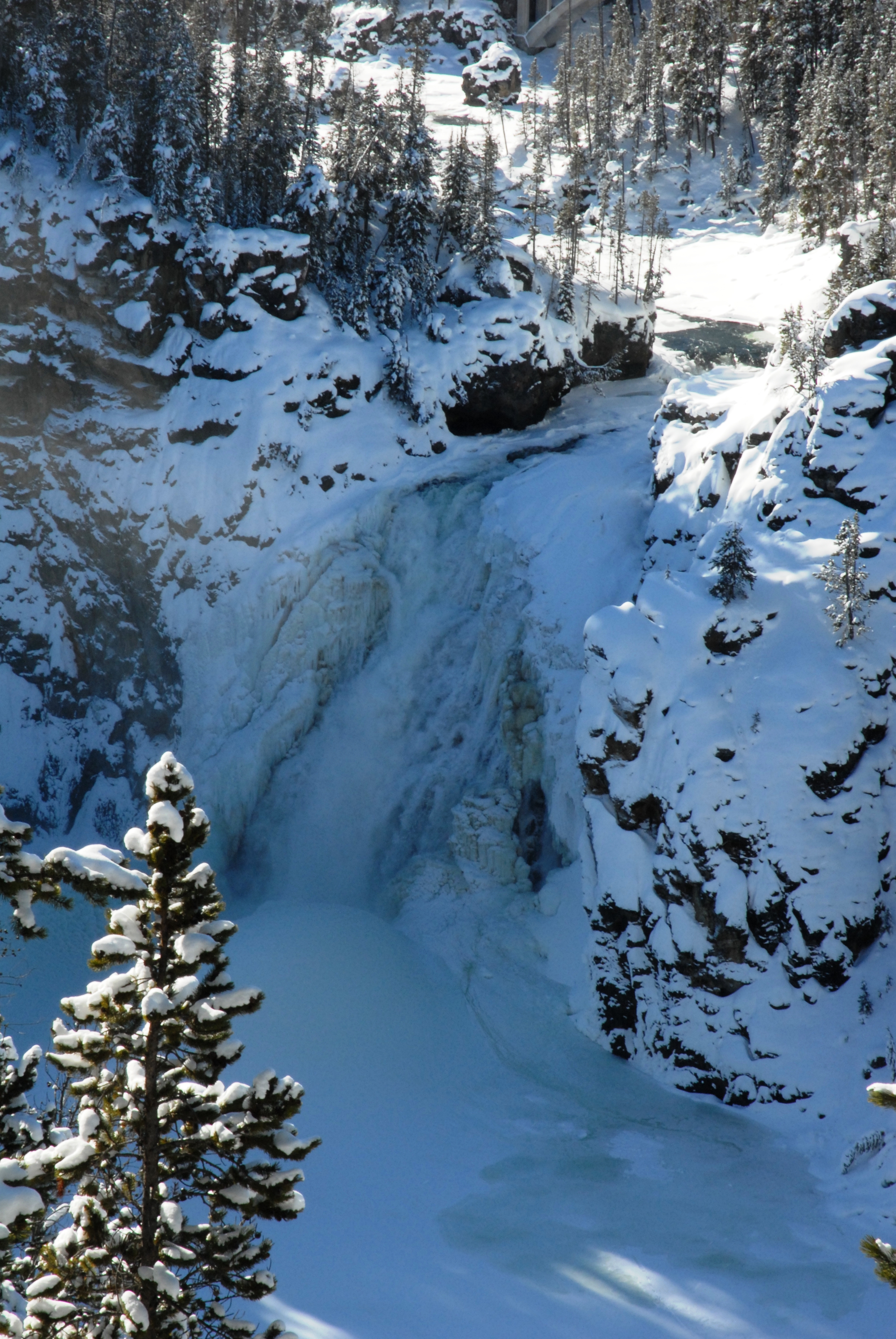
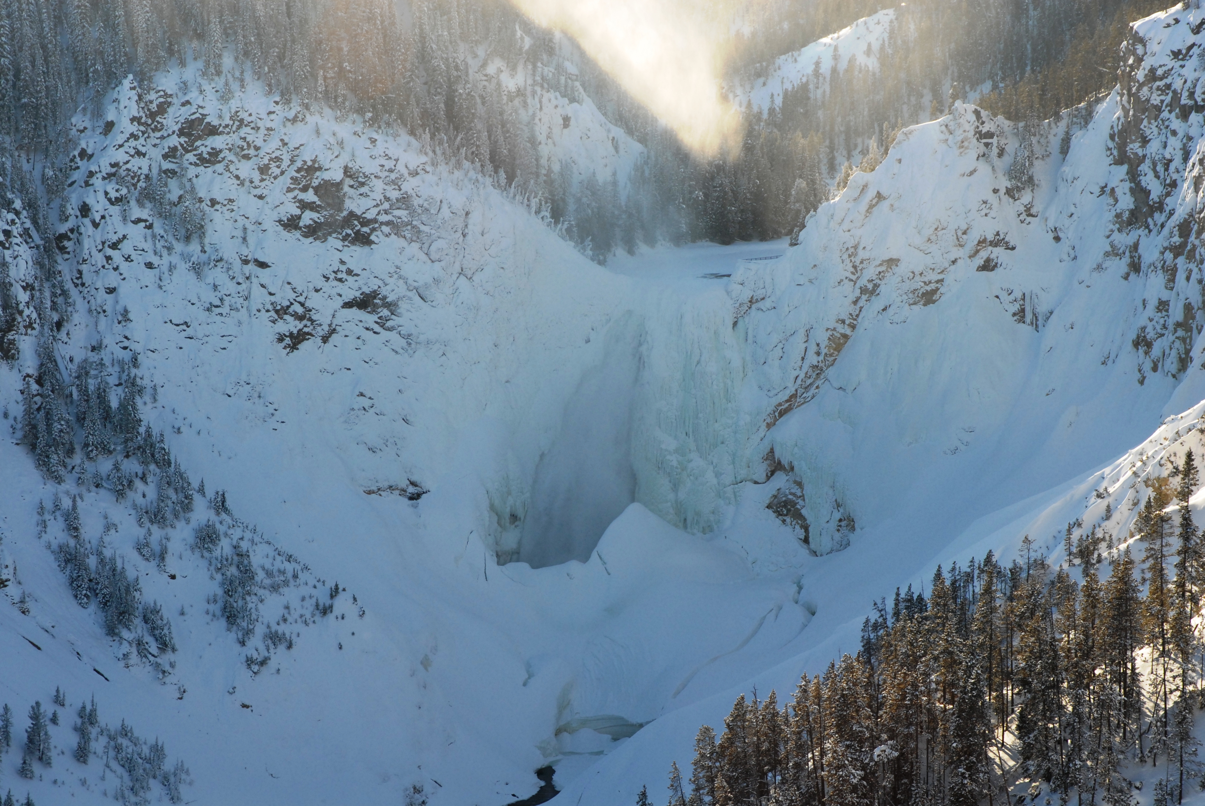
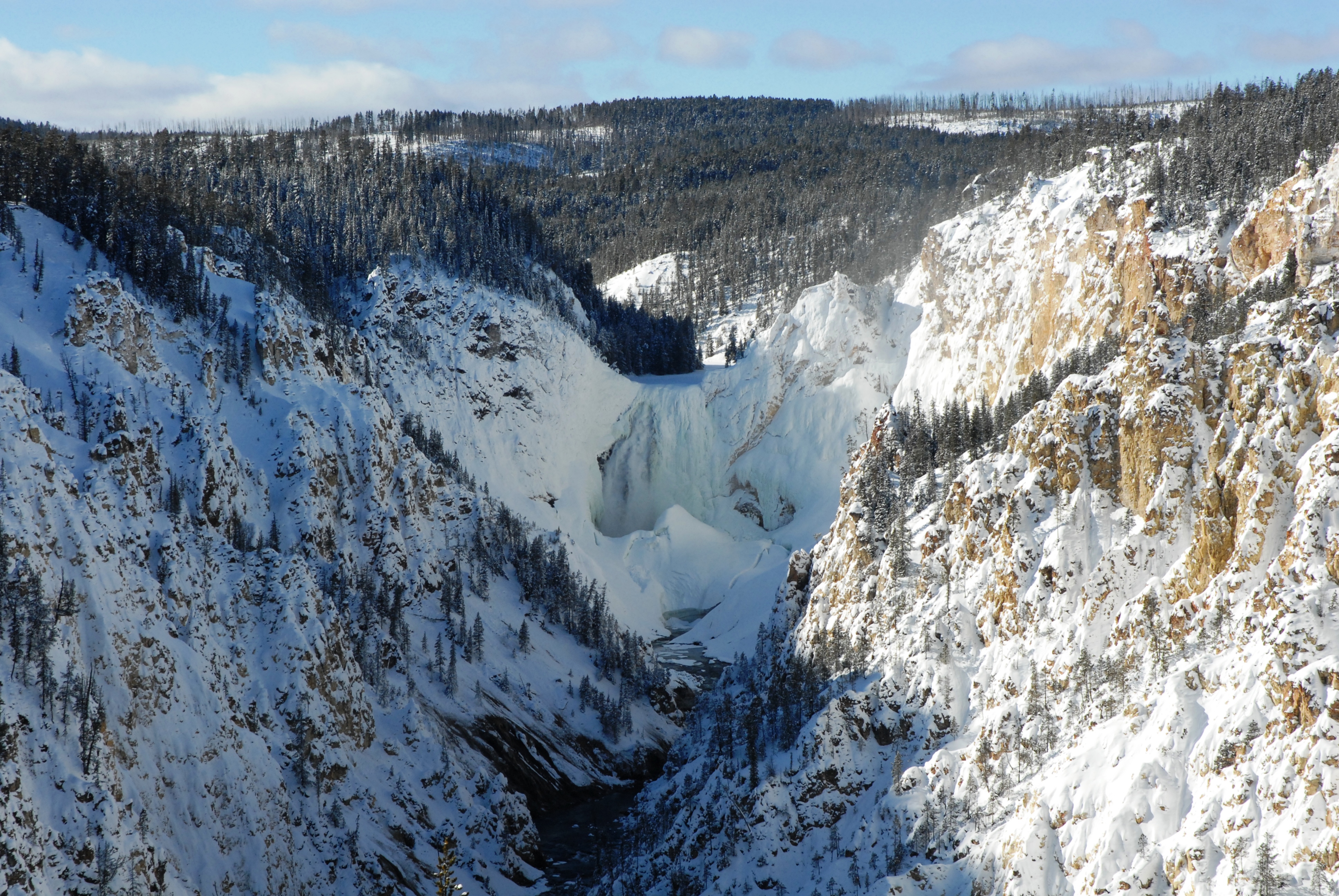
Yellowstone River: Upper Falls; Lower Falls from Lookout Point; Lower Falls from Artist's Point
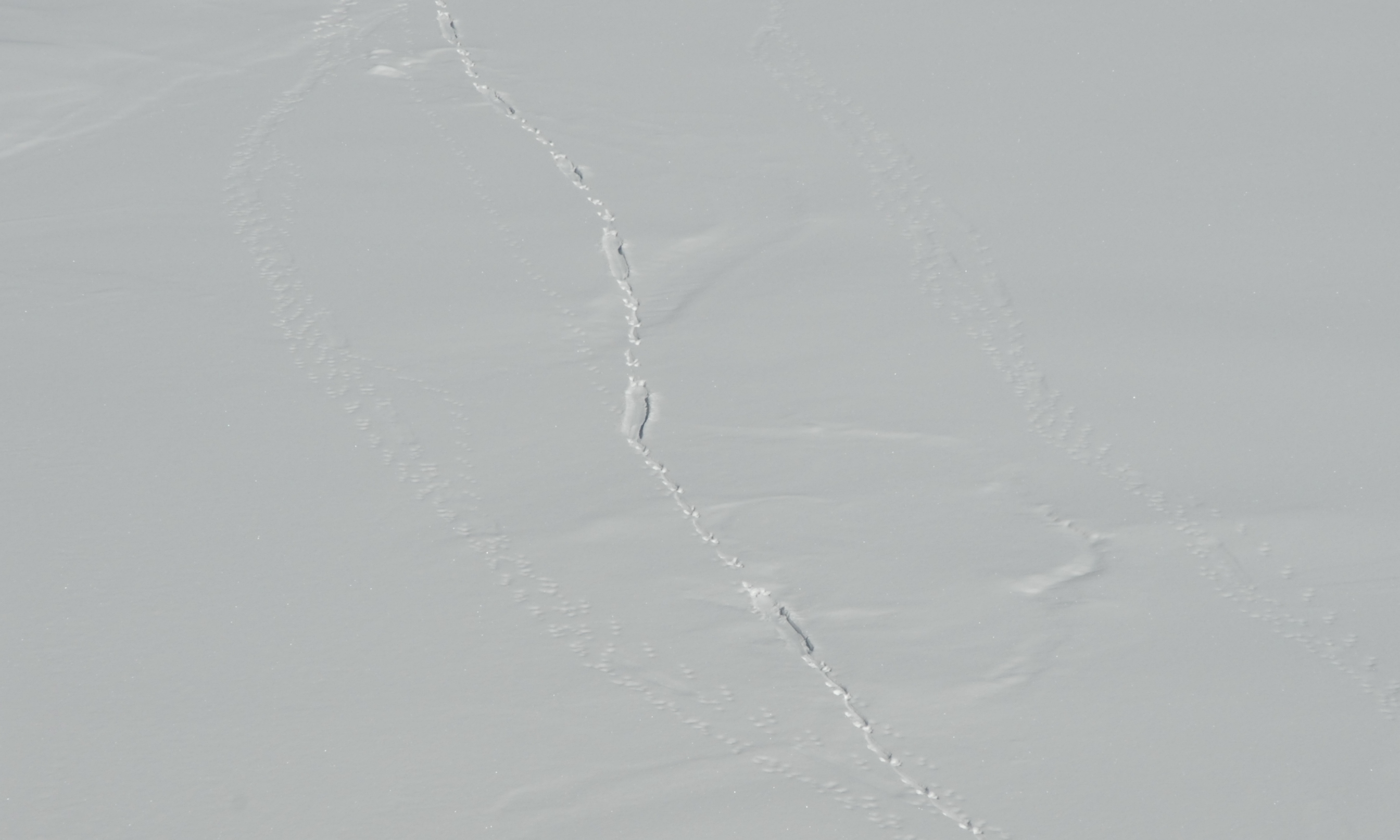
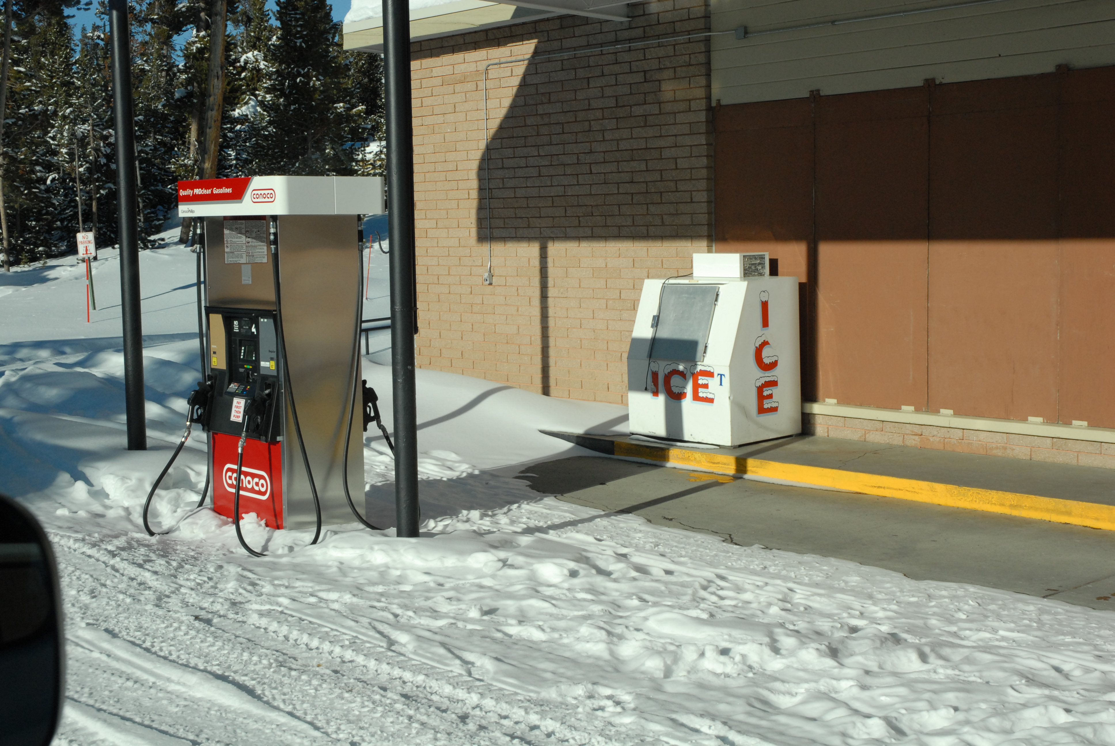
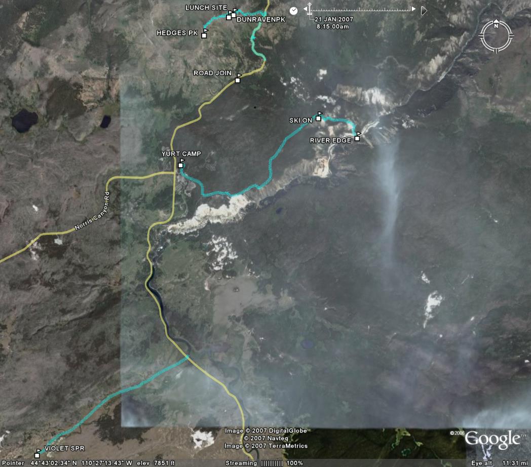
Otter track on frozen river: step step step sliiiiiide, step step sliiiiiide, ...; Funny to see an ice machine in the winter!; All excursions.