The GCF can provide cutting edge technological and analytical capabilities for public and non-profit entities. 


Some of our current and previous partnerships:
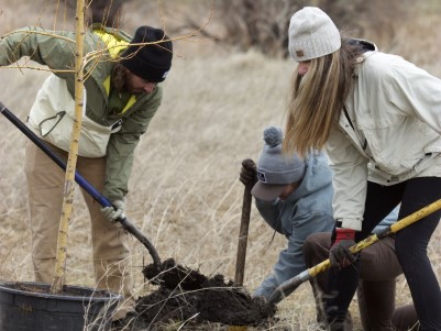
ppl planting tree

Branch Out Bozeman

Branch Out Bozeman is a collaboration between the Gallatin Watershed Council, the National Park Service, the City of Bozeman, and the Geospatial Core Facility to improve the spatial and descriptive accuracy of the city’s creeks and irrigation canals for better-informed planning and management.

mountain

Bridger Bowl Ski Area

UAV or drone-based mapping of Bridger Bowl Ski Area supports training for ski patrol and mitigation operations. 


river testing

U.S. Fish and Wildlife Service

The River Conditions Tool provides easy access to real-time data to support watershed groups in their drought management and resource conservation activities.

ppl on roof

SnowCats Rooftop Snow Mapping

Working with MSU Facilities Services, we have developed a new approach to map and measure snow loads across campus rooftops.